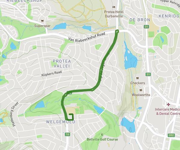
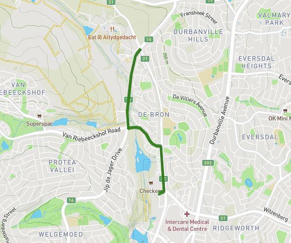
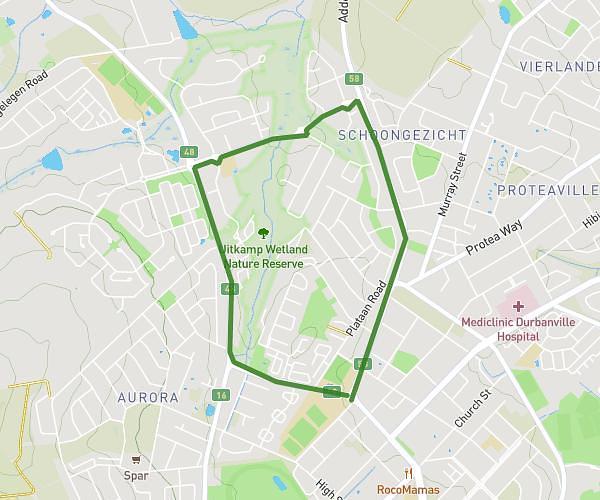
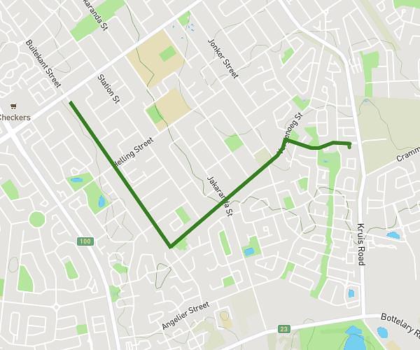
This running route covers 3.061mi starting from Brackenfell, Western Cape. The run is a loop trail and returns to the trailhead. This run is rated as easy, expect about 33m to complete it. The route has an elevation gain of 335ft and an elevation loss of 335ft.
YTH 5KM Run
Route details
5.57mph
Speed
377 kcal
Calories burned
Loop trail
Route type
269ft
Min altitude
443ft
Max altitude
Route profile
335ft
Elevation gain
335ft
Elevation loss
269ft
Min altitude
443ft
Max altitude
How to get there
Trailhead: 33 Perryn Street, Brackenfell, Western Cape 7560, South Africa
GPS coordinates of the trailhead: -33.891549, 18.71209 / 33°53'29'' S, 18°42'43'' E