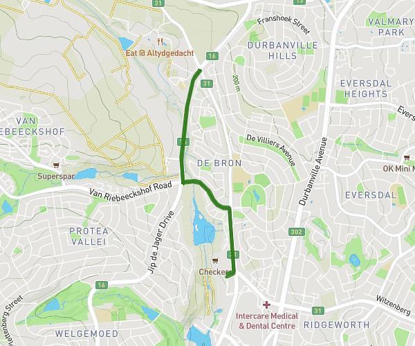
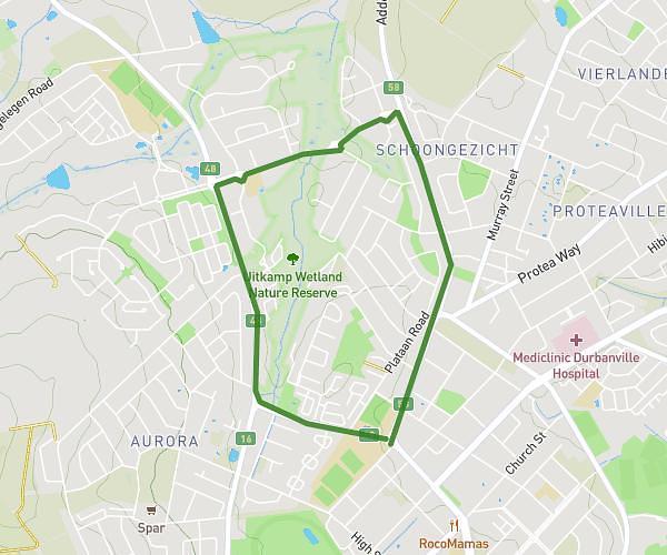
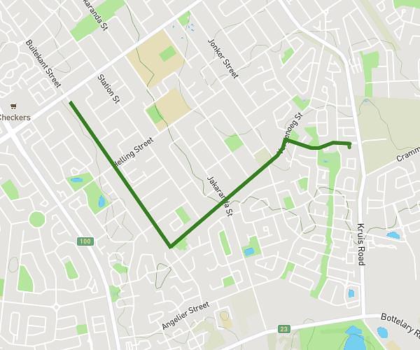
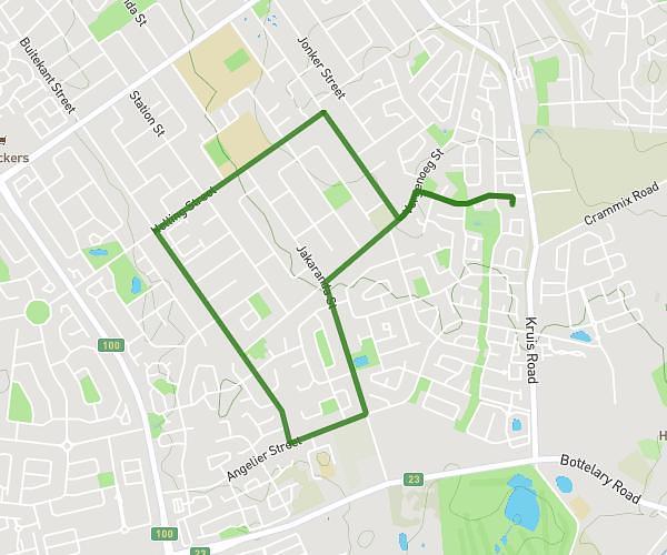
This running route covers 3.042mi starting from Bellville, Western Cape. The run is a loop trail and returns to the trailhead. This run is rated as easy, expect about 33m to complete it. The route has an elevation gain of 387ft and an elevation loss of 387ft.
YTH 5KM Run Jip De Jager Straight
Route details
5.53mph
Speed
377 kcal
Calories burned
Loop trail
Route type
417ft
Min altitude
636ft
Max altitude
Route profile
387ft
Elevation gain
387ft
Elevation loss
417ft
Min altitude
636ft
Max altitude
How to get there
Trailhead: Welgemoed Forum, Bellville, Western Cape 7530, South Africa
GPS coordinates of the trailhead: -33.873536, 18.618151 / 33°52'24'' S, 18°37'5'' E