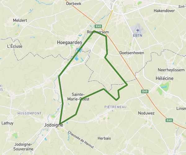
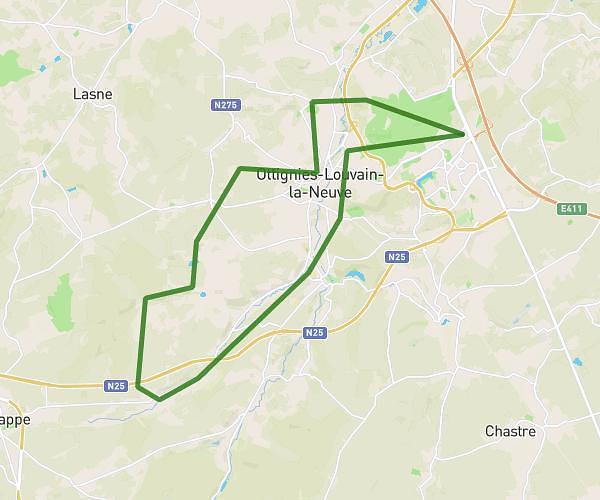
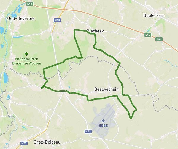
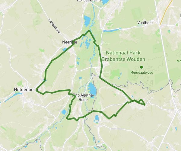
This hiking trail covers 19.102mi starting from Grez-Doiceau, Walloon Brabant. The hike is a loop trail and returns to the trailhead. This hike is rated as moderate, plan for about 6h6s to complete it. The route has an elevation gain of 66ft and an elevation loss of 171ft.
La balade infernale
Route details
3.18mph
Speed
2523 kcal
Calories burned
0.2%
Avg grade
Loop trail
Route type
115ft
Min altitude
276ft
Max altitude
Route profile
66ft
Elevation gain
171ft
Elevation loss
115ft
Min altitude
276ft
Max altitude
How to get there
Trailhead: Rue De Hamme-Mille, 1390 Grez-Doiceau
GPS coordinates of the trailhead: 50.78219, 4.68928 / 50°46'55'' N, 4°41'21'' E