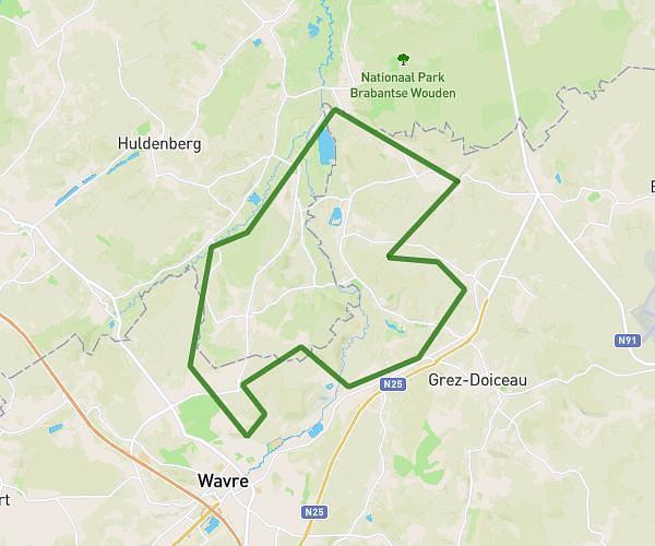
This hiking trail covers 14.794mi starting from Grez-Doiceau, Walloon Brabant. The hike is a loop trail and returns to the trailhead. This hike is rated as moderate, plan for about 6h7s to complete it. The route has an elevation gain of 787ft and an elevation loss of 794ft.
La belle surprise
Route details
2.47mph
Speed
2563 kcal
Calories burned
2.0%
Avg grade
Loop trail
Route type
75ft
Min altitude
295ft
Max altitude
Route profile
787ft
Elevation gain
794ft
Elevation loss
75ft
Min altitude
295ft
Max altitude
How to get there
Trailhead: Bruyère Du Wez, 1390 Grez-Doiceau
GPS coordinates of the trailhead: 50.78235, 4.68889 / 50°46'56'' N, 4°41'20'' E