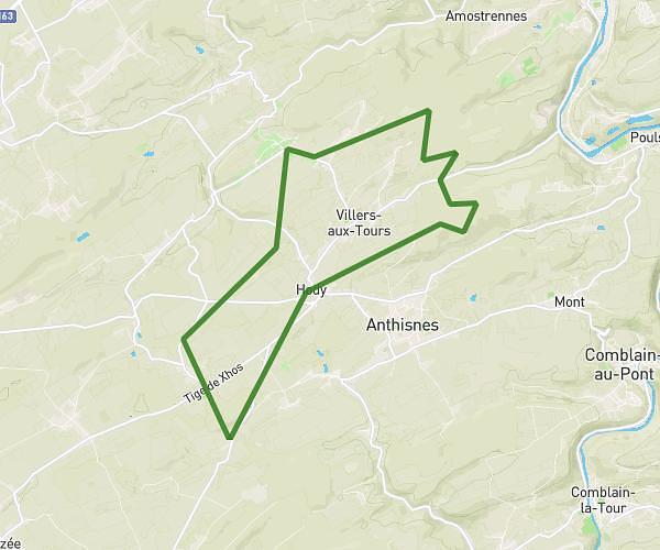
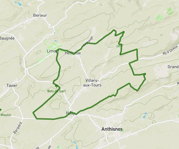
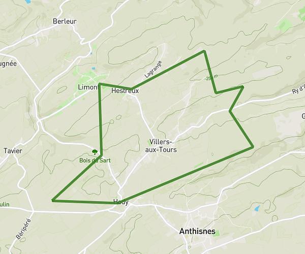
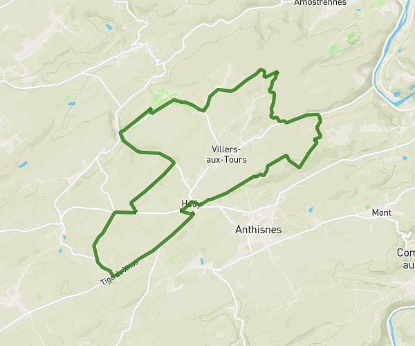
Explore this hiking route of 24.62km starting from Liège, Liege. The hike is a loop and returns to the starting point. This hike has no defined difficulty level, plan for about 6h to complete it. The route has a positive elevation gain of 349m and a negative elevation loss of 350m.
La Gaufff
Route details
Route profile
349m
Elevation +
350m
Elevation -
57m
Min altitude
226m
Max altitude
How to get there
Route starting point: Place Saint-Lambert, 4000 Liège
GPS coordinates of the starting point: 50.64435, 5.57281 / 50°38'39'' N, 5°34'22'' E
Calculate the time to reach the starting point from your location or an address