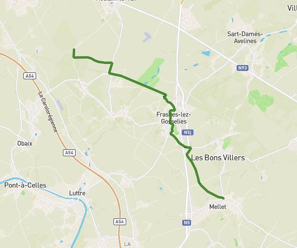
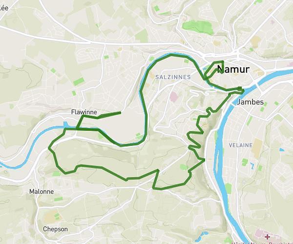
Explore this hiking route of 15,172mi starting from Namur, Namur. The hike does not return to the starting point and ends near Rue Godefroid, 5000 Namur. This hike has no defined difficulty level, plan for about 7h to complete it. The route has a positive elevation gain of 889ft and a negative elevation loss of 879ft.
La marche forcée
Route details
Route profile
889ft
Elevation +
879ft
Elevation -
256ft
Min altitude
617ft
Max altitude
How to get there
Route starting point: Rue Denis-Georges Bayar, 5000 Namur
GPS coordinates of the starting point: 50.47015, 4.8616 / 50°28'12'' N, 4°51'41'' E