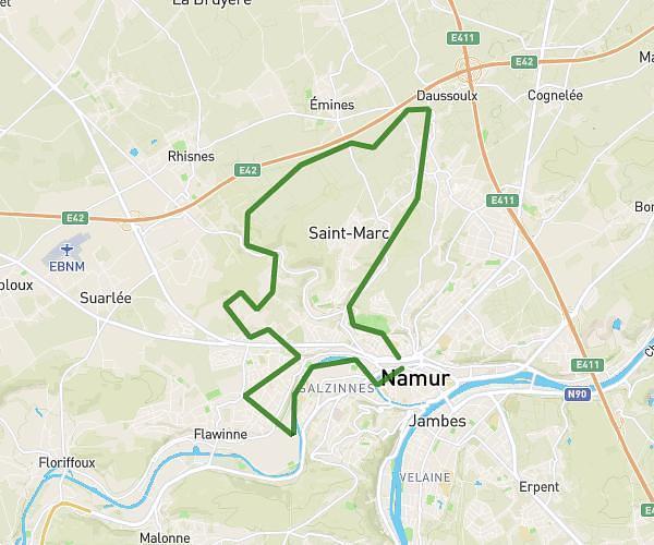
Explore this hiking route of 15,786mi starting from Namur, Namur. The hike is a loop and returns to the starting point. This hike has no defined difficulty level, plan for about 5h5m to complete it. The route has a positive elevation gain of 1283ft and a negative elevation loss of 1280ft.
La Meuse
Route details
Route profile
1283ft
Elevation +
1280ft
Elevation -
249ft
Min altitude
722ft
Max altitude
How to get there
Route starting point: Boulevard Ernest Mélot, 5000 Namur
GPS coordinates of the starting point: 50.46825, 4.86239 / 50°28'5'' N, 4°51'44'' E