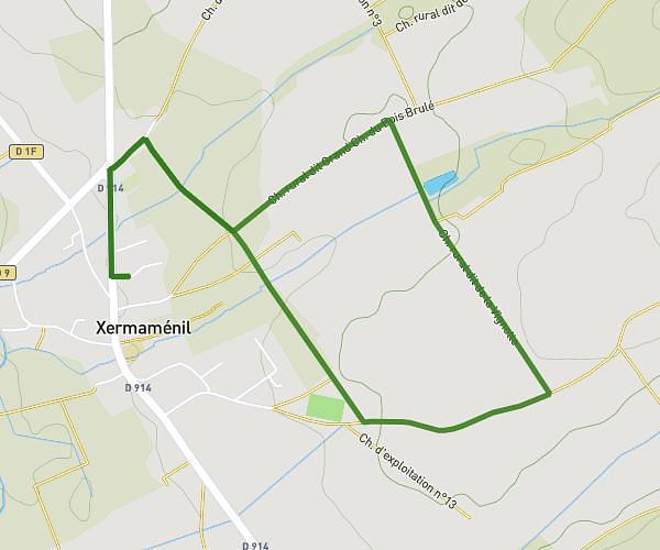
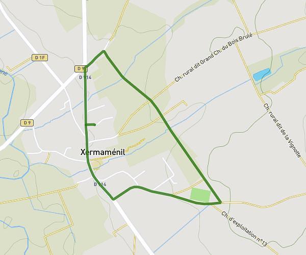
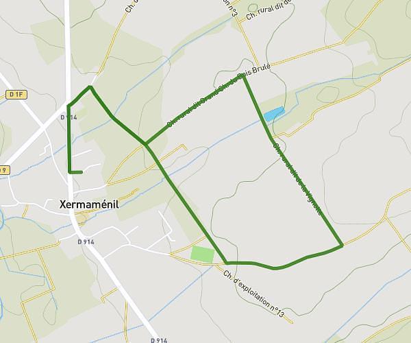
This running route covers 0.967mi starting from Nancy, Meurthe-et-Moselle. The run does not return to the trailhead and ends near 63 Rue Des Tiercelins, 54000 Nancy, France. This run is rated as easy, expect about 9m to complete it. The route has an elevation gain of 16ft and an elevation loss of 20ft.
3km A
Route details
6.44mph
Speed
103 kcal
Calories burned
Point to point
Route type
643ft
Min altitude
650ft
Max altitude
Route profile
16ft
Elevation gain
20ft
Elevation loss
643ft
Min altitude
650ft
Max altitude
How to get there
Trailhead: 58 Rue Sellier, 54000 Nancy, France
GPS coordinates of the trailhead: 48.70099, 6.18336 / 48°42'3'' N, 6°11'0'' E