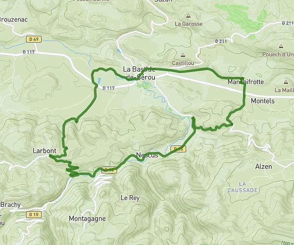
This hiking trail covers 11.305mi starting from Brassac, Ariège. The hike is a loop trail and returns to the trailhead. This hike is rated as strenuous, plan for about 7h14m to complete it. The route has an elevation gain of 3957ft and an elevation loss of 3921ft.
Le picou / Rocher de Batail - Brassac
Route details
1.56mph
Speed
3381 kcal
Calories burned
13.2%
Avg grade
Loop trail
Route type
1926ft
Min altitude
5581ft
Max altitude
Steep climb
Route profile
3957ft
Elevation gain
3921ft
Elevation loss
1926ft
Min altitude
5581ft
Max altitude
How to get there
Trailhead: 129 Route De Légrillou, 09000 Brassac, France
GPS coordinates of the trailhead: 42.94584, 1.53691 / 42°56'45'' N, 1°32'12'' E