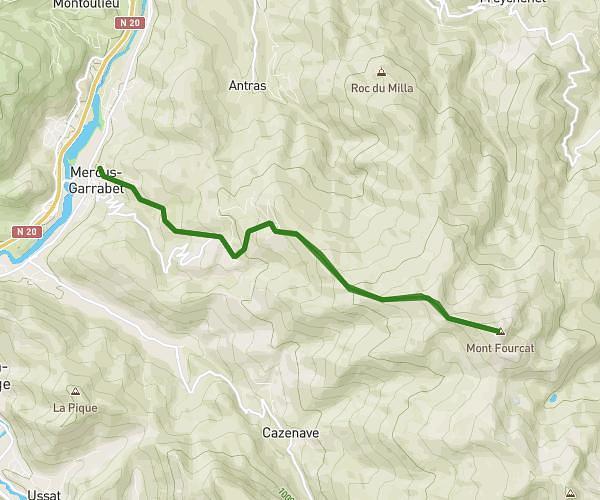
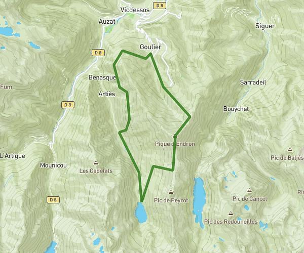
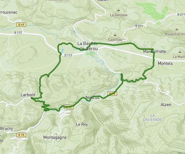
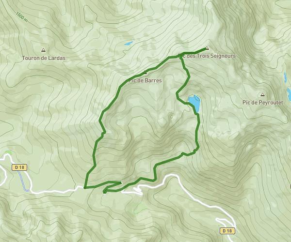
This hiking trail covers 10.924mi starting from Ganac, Ariège. The hike is a loop trail and returns to the trailhead. This hike is rated as strenuous, plan for about 7h to complete it. The route has an elevation gain of 3783ft and an elevation loss of 3737ft.
Rando du Picou - Ganac
Route details
1.56mph
Speed
3261 kcal
Calories burned
13.0%
Avg grade
Loop trail
Route type
1854ft
Min altitude
5299ft
Max altitude
Steep climb
Route profile
3783ft
Elevation gain
3737ft
Elevation loss
1854ft
Min altitude
5299ft
Max altitude
How to get there
Trailhead: 2 Route De Micou, 09000 Ganac, France
GPS coordinates of the trailhead: 42.94596, 1.56357 / 42°56'45'' N, 1°33'48'' E