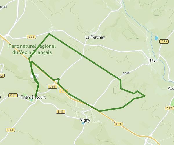
This running route covers 3.818mi starting from Ézanville, Val-d'Oise. The run is a loop trail and returns to the trailhead. This run is rated as easy, expect about 40m26s to complete it. The route has an elevation gain of 141ft and an elevation loss of 141ft.
2024-03-09
Route details
5.67mph
Speed
462 kcal
Calories burned
Loop trail
Route type
243ft
Min altitude
312ft
Max altitude
Route profile
141ft
Elevation gain
141ft
Elevation loss
243ft
Min altitude
312ft
Max altitude
How to get there
Trailhead: Rue De L'avenir, 95460 Ézanville
GPS coordinates of the trailhead: 49.02944, 2.35574 / 49°1'45'' N, 2°21'20'' E