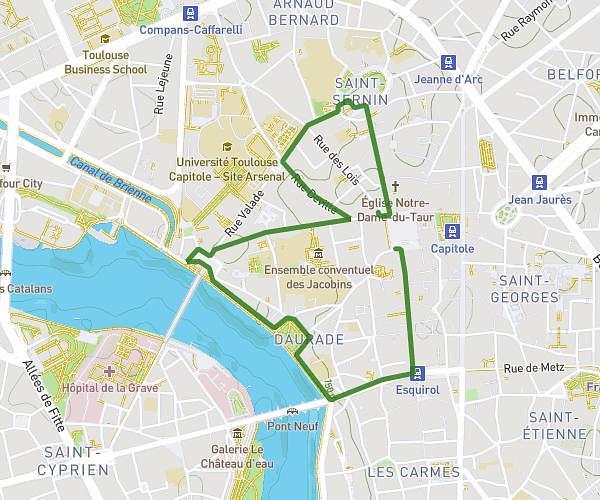
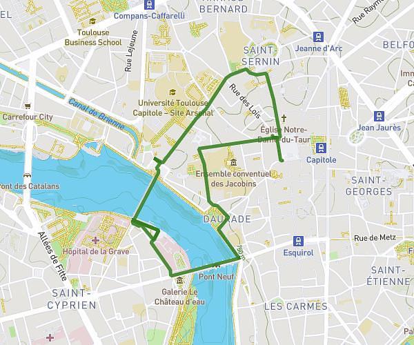
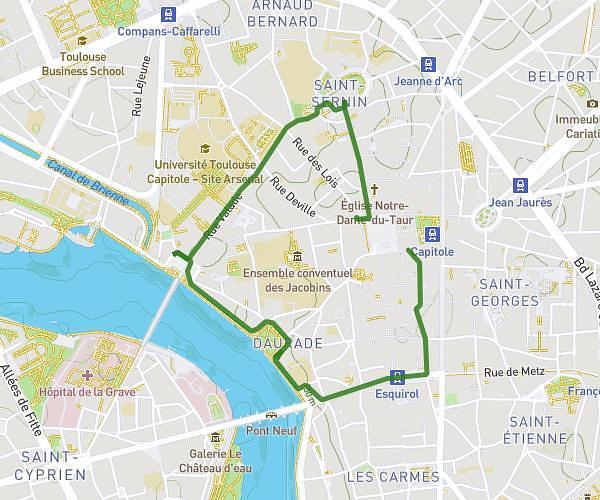
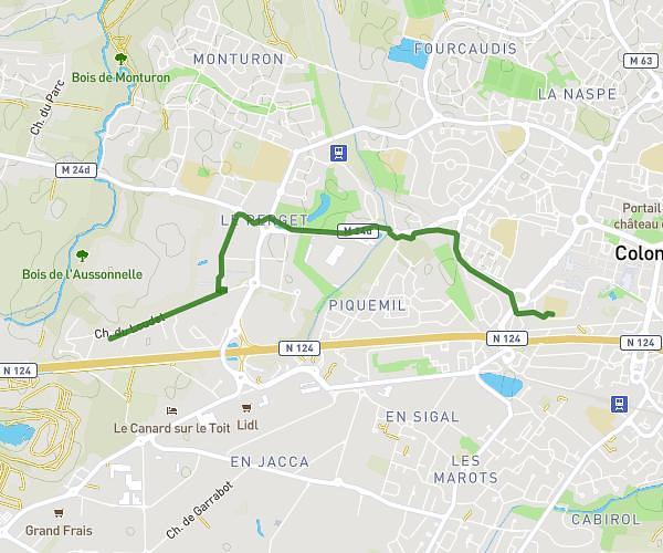
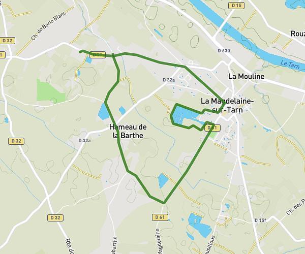
This walking route covers 4.563mi starting from Plaisance-du-Touch, Haute-Garonne. The walk is a loop trail and returns to the trailhead. This walk is rated as moderate, plan for about 1h38m to complete it. The route has an elevation gain of 387ft and an elevation loss of 387ft.
Salvetat saint Gilles 2
Route details
21:27/mi
Pace
400 kcal
Calories burned
Loop trail
Route type
571ft
Min altitude
656ft
Max altitude
Route profile
387ft
Elevation gain
387ft
Elevation loss
571ft
Min altitude
656ft
Max altitude
How to get there
Trailhead: 4 Rue Des Amandiers, 31880 Plaisance-du-Touch, France
GPS coordinates of the trailhead: 43.567666, 1.265316 / 43°34'3'' N, 1°15'55'' E