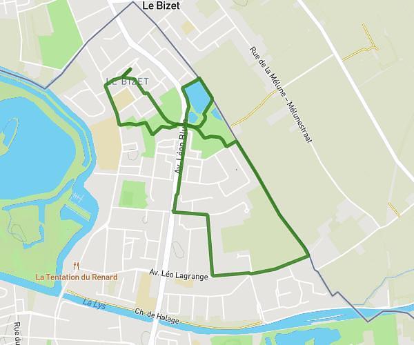
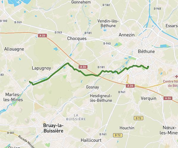
This hiking trail covers 5.84mi starting from Aubers, Nord. The hike is a loop trail and returns to the trailhead. This hike is rated as easy, plan for about 3h7m to complete it. The route has an elevation gain of 253ft and an elevation loss of 253ft.
Aubers via cimetiere lorgies
Route details
1.86mph
Speed
1334 kcal
Calories burned
1.6%
Avg grade
Loop trail
Route type
56ft
Min altitude
115ft
Max altitude
Route profile
253ft
Elevation gain
253ft
Elevation loss
56ft
Min altitude
115ft
Max altitude
How to get there
Trailhead: 60b Rue Du Haut Pommereau, 59249 Aubers, France
GPS coordinates of the trailhead: 50.58615, 2.81667 / 50°35'10'' N, 2°49'0'' E