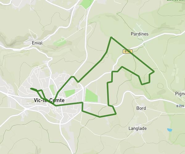
This running route covers 3.735mi starting from Saint-Maurice, Puy-de-Dôme. The run is a loop trail and returns to the trailhead. This run is rated as easy, expect about 1h10m to complete it. The route has an elevation gain of 108ft and an elevation loss of 95ft.
La plagne 2
Route details
3.2mph
Speed
800 kcal
Calories burned
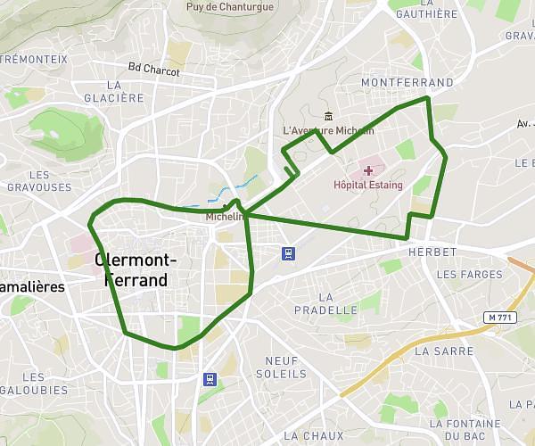
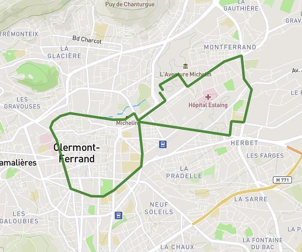
Loop trail
Route type
1385ft
Min altitude
1480ft
Max altitude
Route profile
108ft
Elevation gain
95ft
Elevation loss
1385ft
Min altitude
1480ft
Max altitude
How to get there
Trailhead: 27 Rue De La Plagne, 63270 Saint-Maurice, France
GPS coordinates of the trailhead: 45.66415, 3.23526 / 45°39'50'' N, 3°14'6'' E