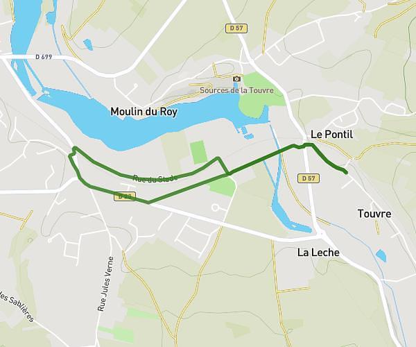
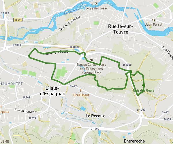
This running route covers 2.0mi starting from Mouthiers-sur-Boëme, Charente. The run is a loop trail and returns to the trailhead. This run is rated as easy, expect about 21m to complete it. The route has an elevation gain of 210ft and an elevation loss of 207ft.
Trail Mouthiers
Route details
5.71mph
Speed
240 kcal
Calories burned
Loop trail
Route type
299ft
Min altitude
459ft
Max altitude
Route profile
210ft
Elevation gain
207ft
Elevation loss
299ft
Min altitude
459ft
Max altitude
How to get there
Trailhead: 17 Avenue Du 24 Août 1944, 16440 Mouthiers-sur-Boëme, France
GPS coordinates of the trailhead: 45.557968, 0.124334 / 45°33'28'' N, 0°7'27'' E