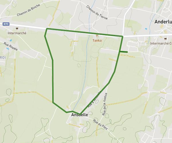
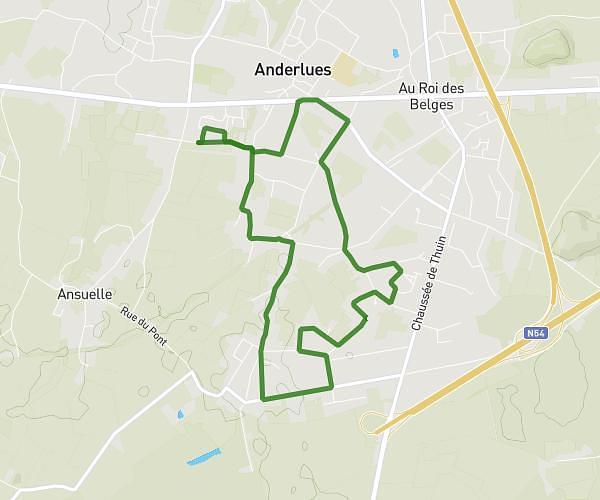
This running route covers 6.799mi starting from Mettet, Namur. The run is a loop trail and returns to the trailhead. This run is rated as moderate, expect about 2h31m to complete it. The route has an elevation gain of 121ft and an elevation loss of 141ft.
4e année
Route details
2.7mph
Speed
1726 kcal
Calories burned
Loop trail
Route type
623ft
Min altitude
755ft
Max altitude
Route profile
121ft
Elevation gain
141ft
Elevation loss
623ft
Min altitude
755ft
Max altitude
How to get there
Trailhead: Rue Du Moulin Botte 8, 5640 Mettet, Namur, Belgium
GPS coordinates of the trailhead: 50.3426, 4.60337 / 50°20'33'' N, 4°36'12'' E