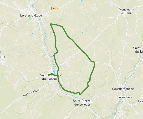
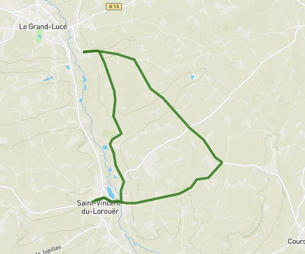
This running route covers 2.932mi starting from Montval-sur-Loir, Sarthe. The run is a loop trail and returns to the trailhead. This run is rated as easy, expect about 28m to complete it. The route has an elevation gain of 262ft and an elevation loss of 262ft.
proposition 2
Route details
6.28mph
Speed
320 kcal
Calories burned
Loop trail
Route type
174ft
Min altitude
331ft
Max altitude
Route profile
262ft
Elevation gain
262ft
Elevation loss
174ft
Min altitude
331ft
Max altitude
How to get there
Trailhead: 56 Route Des Vignes, 72500 Montval-sur-Loir, France
GPS coordinates of the trailhead: 47.68371, 0.39066 / 47°41'1'' N, 0°23'26'' E