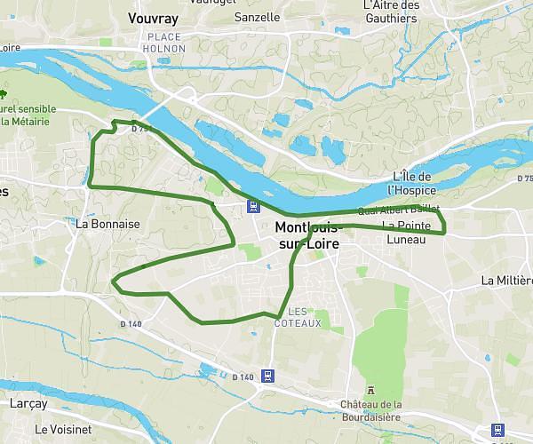
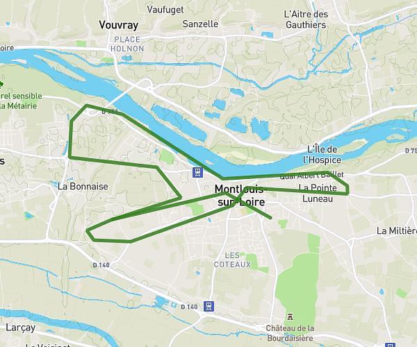
This running route covers 1.104mi starting from Ballan-Miré, Indre-et-Loire. The run is a loop trail and returns to the trailhead. This run is rated as easy, expect about 14m24s to complete it. The route has an elevation gain of 102ft and an elevation loss of 98ft.
parcours 24h
Route details
4.6mph
Speed
165 kcal
Calories burned
Loop trail
Route type
249ft
Min altitude
282ft
Max altitude
Route profile
102ft
Elevation gain
98ft
Elevation loss
249ft
Min altitude
282ft
Max altitude
How to get there
Trailhead: Parking René Cassin, 37510 Ballan-Miré, France
GPS coordinates of the trailhead: 47.342818, 0.614121 / 47°20'34'' N, 0°36'50'' E