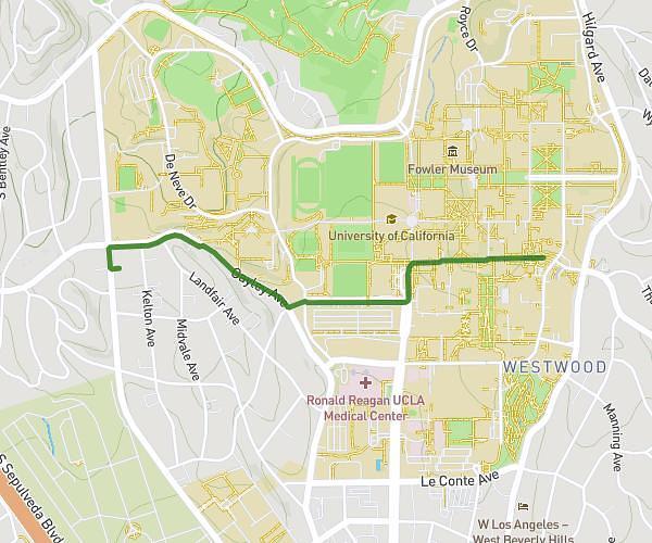
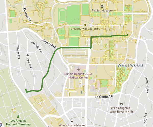
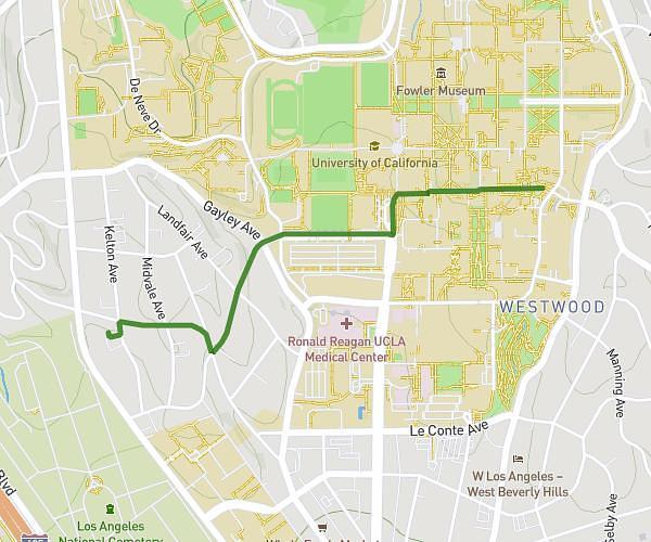
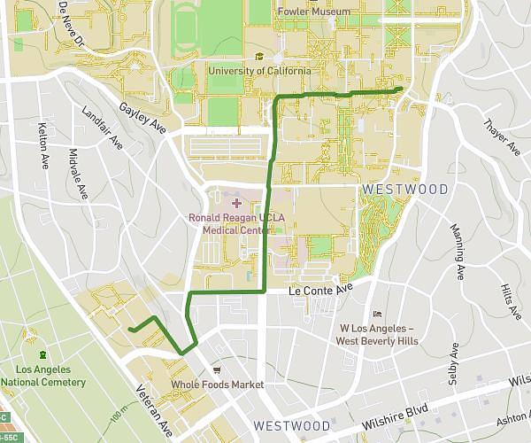
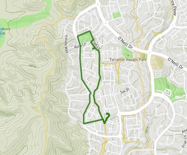
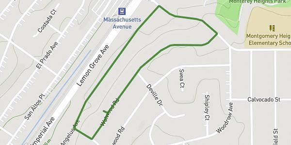
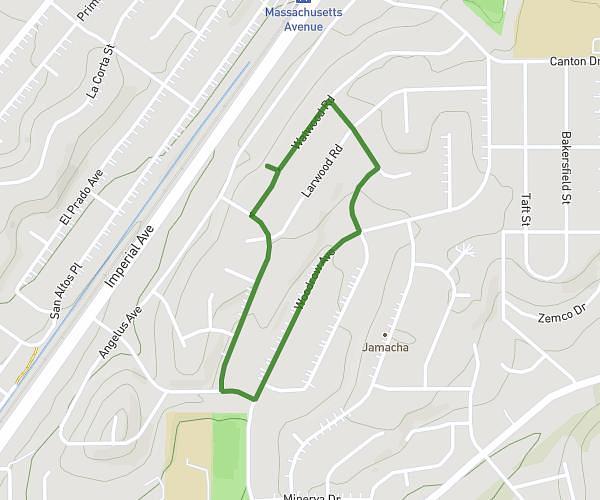
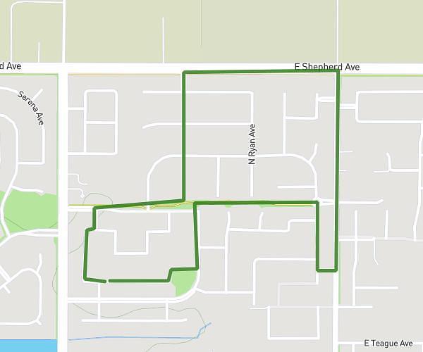
This walking route covers 7.668mi starting from Los Angeles, California. The walk is a loop trail and returns to the trailhead. This walk is rated as strenuous, plan for about 1h57m to complete it. The route has an elevation gain of 430ft and an elevation loss of 430ft.
Beverly Center
Route details
15:17/mi
Pace
478 kcal
Calories burned
Loop trail
Route type
121ft
Min altitude
299ft
Max altitude
Route profile
430ft
Elevation gain
430ft
Elevation loss
121ft
Min altitude
299ft
Max altitude
How to get there
Trailhead: 8863 Horner Street, Los Angeles, California 90035, United States
GPS coordinates of the trailhead: 34.051649, -118.386456 / 34°3'5'' N, 118°23'11'' W