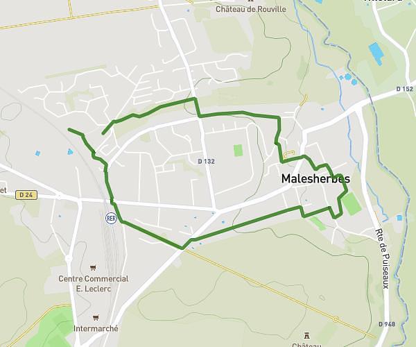
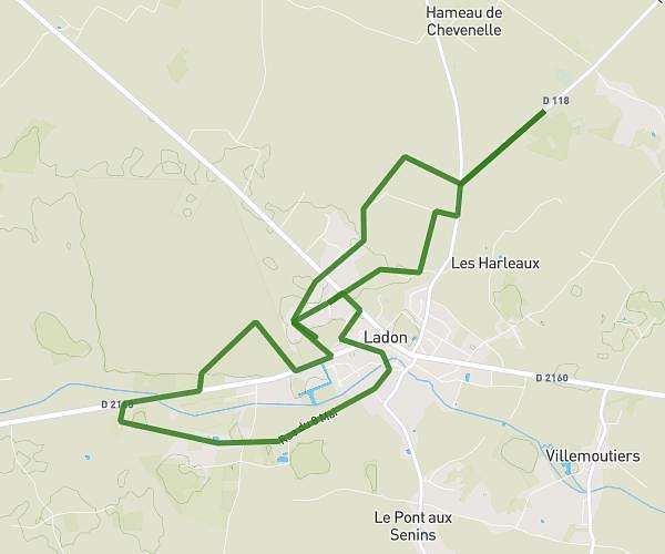
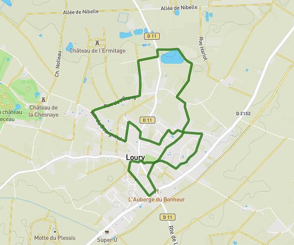
This hiking trail covers 8.142mi starting from Yèvre-la-Ville, Loiret. The hike does not return to the trailhead and ends near 1601 Route De Feulardes, 45300 Estouy, France. This hike is rated as easy, plan for about 3h47m to complete it. The route has an elevation gain of 325ft and an elevation loss of 292ft.
Yevres Le Chatel - Vallée de l'Oeuf - Estouy - Les feulardes
Route details
2.15mph
Speed
1609 kcal
Calories burned
1.4%
Avg grade
Point to point
Route type
315ft
Min altitude
404ft
Max altitude
Route profile
325ft
Elevation gain
292ft
Elevation loss
315ft
Min altitude
404ft
Max altitude
How to get there
Trailhead: 2 Rue De La Fontaine Aux Leçons, 45300 Yèvre-la-Ville, France
GPS coordinates of the trailhead: 48.15846, 2.33389 / 48°9'30'' N, 2°20'2'' E