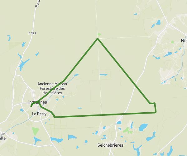
This hiking trail covers 8.536mi starting from Ladon, Loiret. The hike does not return to the trailhead and ends near 291 Rue De La Motte Bézin, 45270 Ladon, France. This hike is rated as hard, plan for about 1h31m to complete it. The route has an elevation gain of 344ft and an elevation loss of 305ft.
Hbbnht
Route details
5.59mph
Speed
649 kcal
Calories burned
1.4%
Avg grade
Point to point
Route type
289ft
Min altitude
367ft
Max altitude
Route profile
344ft
Elevation gain
305ft
Elevation loss
289ft
Min altitude
367ft
Max altitude
How to get there
Trailhead: 799 Rue De La Motte Bézin, 45270 Ladon, France
GPS coordinates of the trailhead: 48.00704, 2.52724 / 48°0'25'' N, 2°31'38'' E