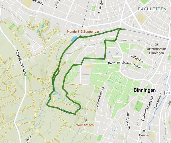
This running route covers 2.469mi starting from Basel, Basel-Stadt. The run is a loop trail and returns to the trailhead. This run is rated as easy, expect about 25m59s to complete it. The route has an elevation gain of 46ft and an elevation loss of 72ft.
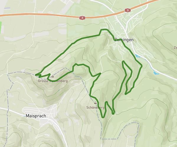
boucle 4km
Route details
5.7mph
Speed
297 kcal
Calories burned
Loop trail
Route type
827ft
Min altitude
899ft
Max altitude
Route profile
46ft
Elevation gain
72ft
Elevation loss
827ft
Min altitude
899ft
Max altitude
How to get there
Trailhead: Barfüsserplatz 21, 4051 Basel, Switzerland
GPS coordinates of the trailhead: 47.554903, 7.589094 / 47°33'17'' N, 7°35'20'' E