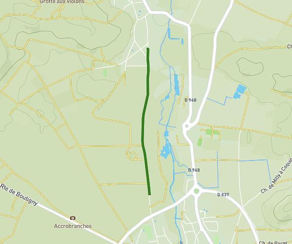
This hiking trail covers 4.052mi starting from Samois-sur-Seine, Seine-et-Marne. The hike is a loop trail and returns to the trailhead. This hike is rated as easy, plan for about 1h52m to complete it. The route has an elevation gain of 417ft and an elevation loss of 417ft.
Sentier 13 Tour Denecourt-Corniche de la Seine
Route details
2.17mph
Speed
809 kcal
Calories burned
3.9%
Avg grade
Loop trail
Route type
217ft
Min altitude
400ft
Max altitude
Route profile
417ft
Elevation gain
417ft
Elevation loss
217ft
Min altitude
400ft
Max altitude
How to get there
Trailhead: 6 Chemin De L'orée, 77920 Samois-sur-Seine, France
GPS coordinates of the trailhead: 48.44614, 2.74415 / 48°26'46'' N, 2°44'38'' E