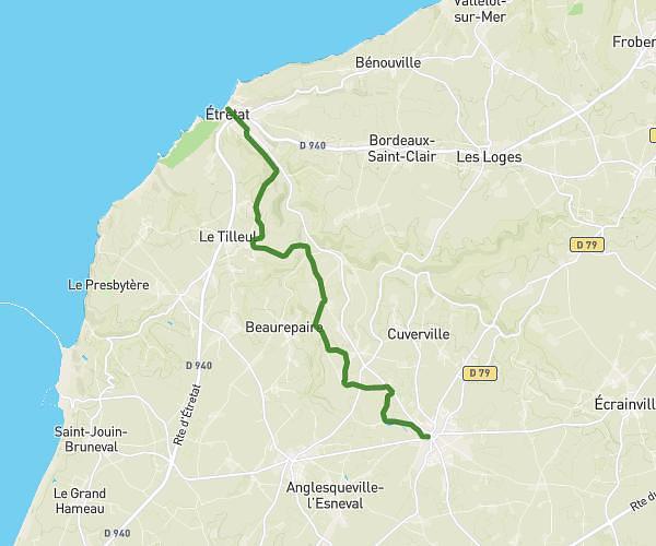
This hiking trail covers 3.566mi starting from Saint-Maclou-la-Brière, Seine-Maritime. The hike does not return to the trailhead and ends near 2 Sentier Des Froidures, 76110 Angerville-Bailleul, France. This hike is rated as easy, plan for about 2s to complete it. The route has an elevation gain of 213ft and an elevation loss of 190ft.
Flyer beaujolais
Route details
3747.99mph
Speed
-
Calories burned
2.1%
Avg grade
Point to point
Route type
397ft
Min altitude
446ft
Max altitude
Route profile
213ft
Elevation gain
190ft
Elevation loss
397ft
Min altitude
446ft
Max altitude
How to get there
Trailhead: 302 Chemin Des Roses, 76110 Saint-Maclou-la-Brière, France
GPS coordinates of the trailhead: 49.6502, 0.465519 / 49°39'0'' N, 0°27'55'' E