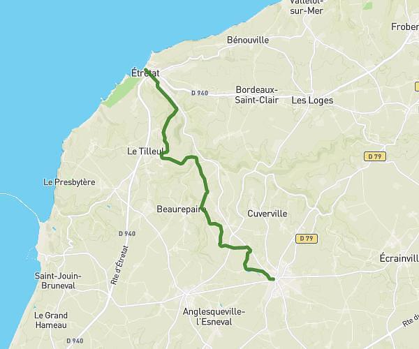
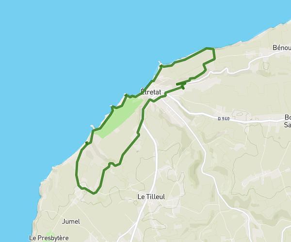
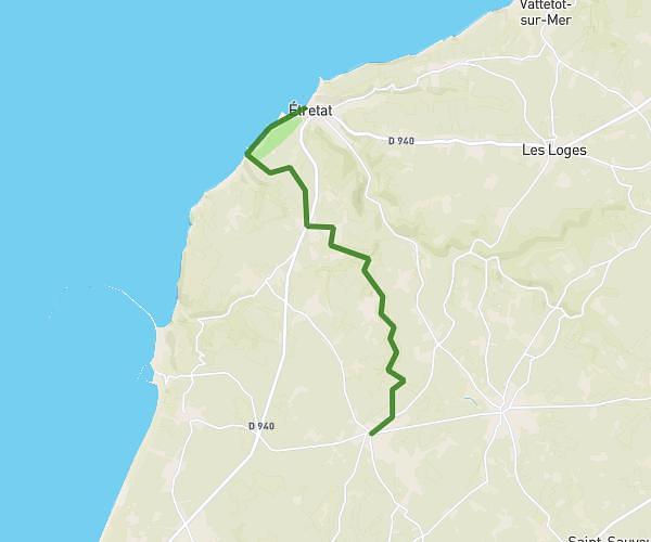
This hiking trail covers 10.159mi starting from Étretat, Seine-Maritime. The hike does not return to the trailhead and ends near 3 Boulevard Albert 1er, 76400 Fécamp, France. This hike is rated as hard, plan for about 1h35m to complete it. The route has an elevation gain of 1463ft and an elevation loss of 1394ft.
Etretat - Fécamp
Route details
6.42mph
Speed
695 kcal
Calories burned
5.3%
Avg grade
Point to point
Route type
26ft
Min altitude
322ft
Max altitude
Route profile
1463ft
Elevation gain
1394ft
Elevation loss
26ft
Min altitude
322ft
Max altitude
How to get there
Trailhead: Terrasse Maurice Leblanc, 76790 Étretat, France
GPS coordinates of the trailhead: 49.708458, 0.202097 / 49°42'30'' N, 0°12'7'' E