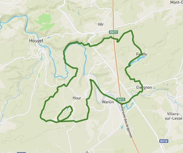
This cycling route covers 13.46mi starting from Gedinne, Namur. The ride is a loop trail and returns to the trailhead. This route is rated as hard, plan for about 2h24m to complete it. The route has an elevation gain of 1581ft and an elevation loss of 1578ft.
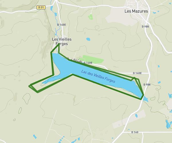
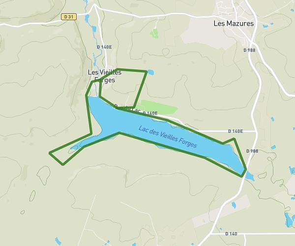
Balade à cheval JPO Ecurie de la Houille 02/08/2026
Route details
1301 kcal
Calories burned
4.4%
Avg grade
Loop trail
Route type
1096ft
Min altitude
1680ft
Max altitude
Route profile
1581ft
Elevation gain
1578ft
Elevation loss
1096ft
Min altitude
1680ft
Max altitude
How to get there
Trailhead: Rue De Gedinne 39a, 5575 Gedinne, Namur, Belgium
GPS coordinates of the trailhead: 49.997377, 4.919712 / 49°59'50'' N, 4°55'10'' E