MapPlanner
16.772mi
Distance
1h39m
Duration
10.17mph
Speed
+1818ft
Elevation gain
-1818ft
Elevation loss
Strenuous
Level

Départ Crevia

Route details

890 kcal
Calories burned
4.1%
Avg grade
Loop trail
Route type
407ft
Min altitude
846ft
Max altitude

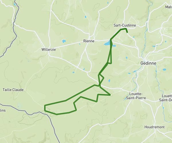
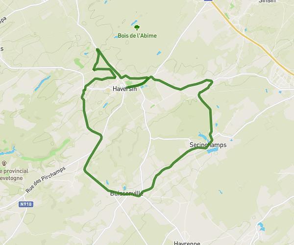
This cycling route covers 16.772mi starting from Houyet, Namur. The ride is a loop trail and returns to the trailhead. This route is rated as strenuous, plan for about 1h39m to complete it. The route has an elevation gain of 1818ft and an elevation loss of 1818ft.

Route profile

1818ft
Elevation gain
1818ft
Elevation loss
407ft
Min altitude
846ft
Max altitude

How to get there

Trailhead: Rue Du Crévia, 5563 Houyet

GPS coordinates of the trailhead: 50.15621, 5.03314 / 50°9'22'' N, 5°1'59'' E

Caution: May Cross Private Property

This route may pass through or near private property. Always respect posted signs, obtain permission where required, and follow local trespassing laws. MapPlanner does not guarantee public access along any route.

Safety Notice

Trail and road conditions may change without notice due to weather, construction, or other factors. Always verify current conditions before heading out. You are responsible for your own safety — follow local signage, obey traffic laws, and use your best judgment on the trail.