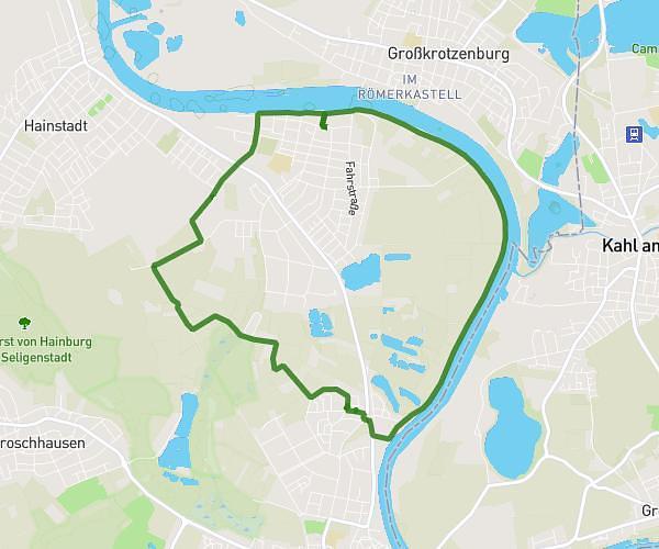
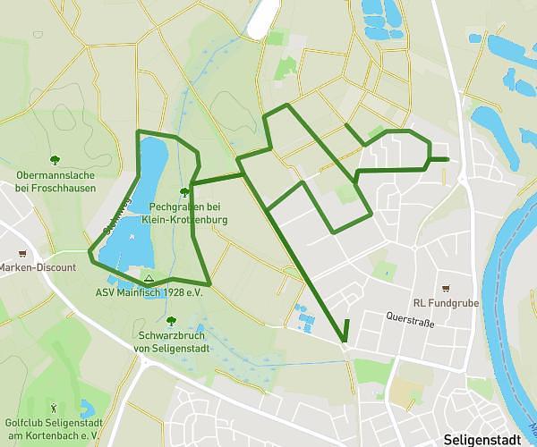
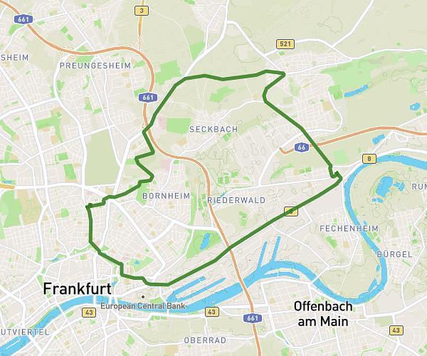
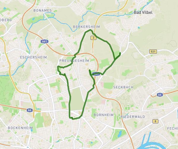
This cycling route covers 13.39mi starting from Frankfurt am Main, Hesse. The ride does not return to the trailhead and ends near Weberstraße 77, 60318 Frankfurt am Main, Germany. This route is rated as moderate, plan for about 1h10m to complete it. The route has an elevation gain of 246ft and an elevation loss of 217ft.
KEIN BOCK TOUR
Route details
615 kcal
Calories burned
0.7%
Avg grade
Point to point
Route type
341ft
Min altitude
554ft
Max altitude
Route profile
246ft
Elevation gain
217ft
Elevation loss
341ft
Min altitude
554ft
Max altitude
How to get there
Trailhead: Eckenheimer Landstraße 172-178, 60318 Frankfurt am Main, Germany
GPS coordinates of the trailhead: 50.1299, 8.6842 / 50°7'47'' N, 8°41'3'' E