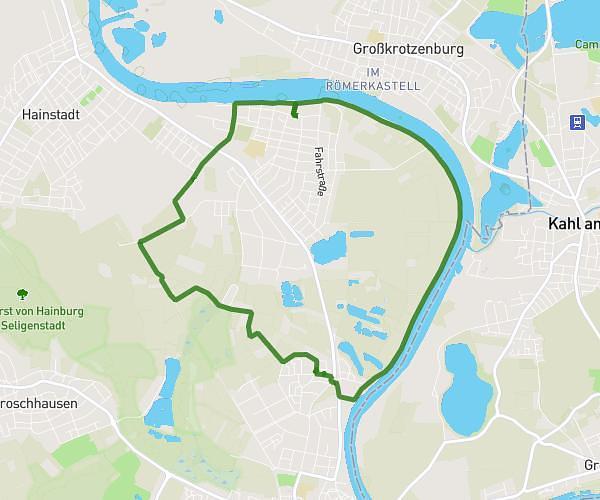
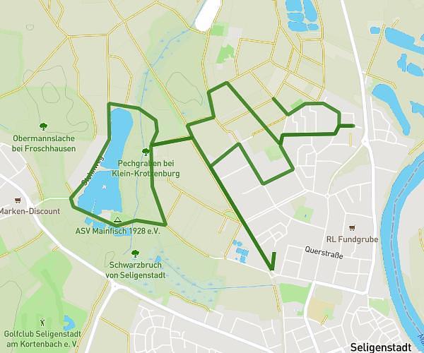
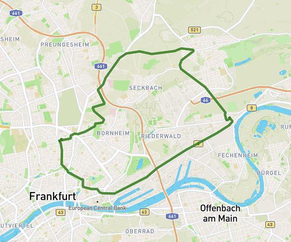
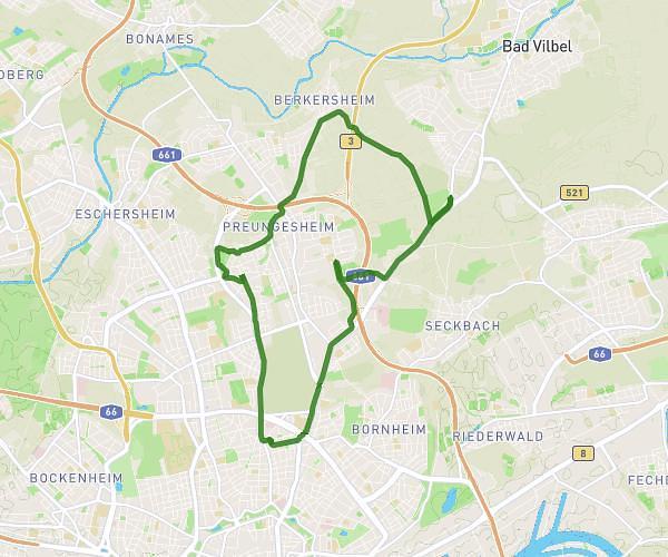
This cycling route covers 14.267mi starting from Frankfurt am Main, Hesse. The ride does not return to the trailhead and ends near Schwarzburgstraße 64, 60318 Frankfurt am Main, Germany. This route is rated as moderate, plan for about 1h15m to complete it. The route has an elevation gain of 240ft and an elevation loss of 249ft.
Samstag 15:2
Route details
659 kcal
Calories burned
0.6%
Avg grade
Point to point
Route type
338ft
Min altitude
574ft
Max altitude
Route profile
240ft
Elevation gain
249ft
Elevation loss
338ft
Min altitude
574ft
Max altitude
How to get there
Trailhead: Holzhausenstraße 22, 60322 Frankfurt am Main, Germany
GPS coordinates of the trailhead: 50.12784, 8.68183 / 50°7'40'' N, 8°40'54'' E