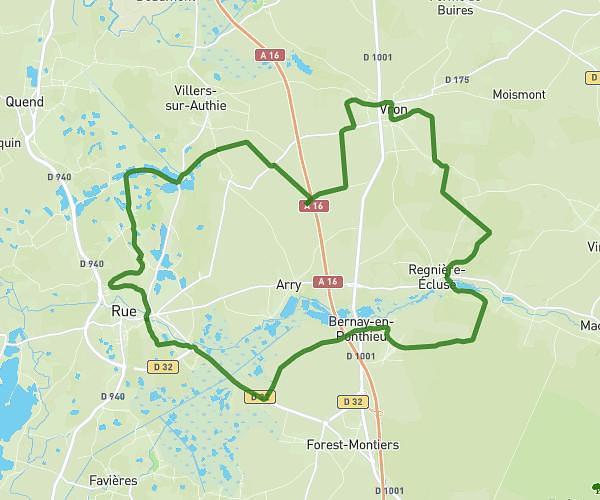
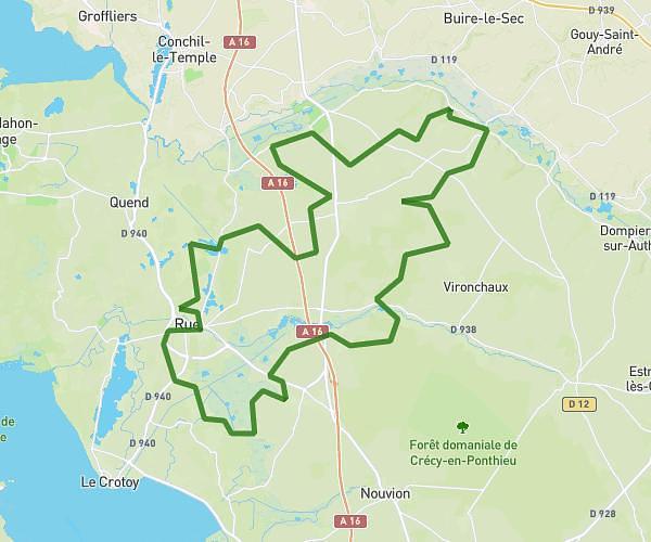
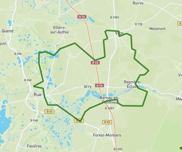
This cycling route covers 12.591mi starting from Moyenneville, Somme. The ride is a loop trail and returns to the trailhead. This route is rated as moderate, plan for about 1h15m to complete it. The route has an elevation gain of 591ft and an elevation loss of 591ft.
Moyenneville / yonval / behen
Route details
672 kcal
Calories burned
1.8%
Avg grade
Loop trail
Route type
72ft
Min altitude
361ft
Max altitude
Route profile
591ft
Elevation gain
591ft
Elevation loss
72ft
Min altitude
361ft
Max altitude
How to get there
Trailhead: Rue De Béhen, 80870 Moyenneville
GPS coordinates of the trailhead: 50.06921, 1.75017 / 50°4'9'' N, 1°45'0'' E