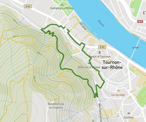
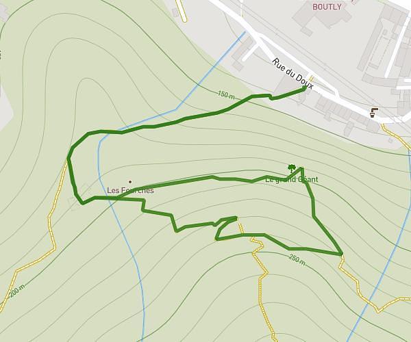
This hiking trail covers 3.249mi starting from Sécheras, Ardèche. The hike is a loop trail and returns to the trailhead. This hike is rated as moderate, plan for about 49m to complete it. The route has an elevation gain of 837ft and an elevation loss of 837ft.
Allée Retour Château de l'Iserand
Route details
3.98mph
Speed
371 kcal
Calories burned
9.8%
Avg grade
Loop trail
Route type
925ft
Min altitude
1404ft
Max altitude
Steep climb
Route profile
837ft
Elevation gain
837ft
Elevation loss
925ft
Min altitude
1404ft
Max altitude
How to get there
Trailhead: 5 Route De Cheminas, 07610 Sécheras, France
GPS coordinates of the trailhead: 45.129863, 4.770007 / 45°7'47'' N, 4°46'12'' E