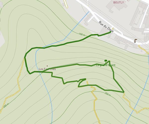
This hiking trail covers 1.25mi starting from Tournon-sur-Rhône, Ardèche. The hike is a loop trail and returns to the trailhead. This hike is rated as moderate, plan for about 25m to complete it. The route has an elevation gain of 489ft and an elevation loss of 489ft.
Les deux Tours
Route details
3.0mph
Speed
197 kcal
Calories burned
14.8%
Avg grade
Loop trail
Route type
400ft
Min altitude
666ft
Max altitude
Steep climb
Route profile
489ft
Elevation gain
489ft
Elevation loss
400ft
Min altitude
666ft
Max altitude
How to get there
Trailhead: 10 Quai Farconnet, 07300 Tournon-sur-Rhône, France
GPS coordinates of the trailhead: 45.07012, 4.82823 / 45°4'12'' N, 4°49'41'' E