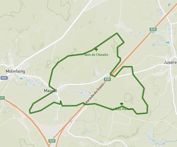
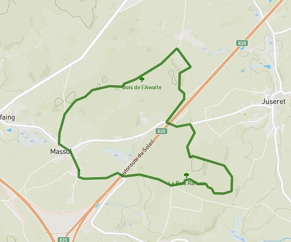
This walking route covers 3.79mi starting from Libin, Luxembourg. The walk is a loop trail and returns to the trailhead. This walk is rated as moderate, plan for about 1h15m to complete it. The route has an elevation gain of 358ft and an elevation loss of 358ft.
LIBIN_6km
Route details
19:47/mi
Pace
306 kcal
Calories burned
Loop trail
Route type
1283ft
Min altitude
1522ft
Max altitude
Route profile
358ft
Elevation gain
358ft
Elevation loss
1283ft
Min altitude
1522ft
Max altitude
How to get there
Trailhead: Fosse Des Biays, 6890 Libin
GPS coordinates of the trailhead: 49.98158, 5.2674 / 49°58'53'' N, 5°16'2'' E