MapPlanner
Subscribe to Explorer
km
Kilometers
Miles
France (€)
Belgique (€)
United Kingdom (£)
Ireland (€)
United States ($)
Canada ($CA)
Italia (€)
Deutschland (€)
Österreich (€)
España (€)
Schweiz (CHF)
Australia (AU$)
Open user menu
Sign up
Log in
Open main menu
Calculate distance
Search for a route
MapPlanner
Close menu
Subscribe to Explorer
Draw your route
Search for a route
Create an Account
Close modal
Log In
Close modal
MapPlanner
2 km
Elevation
14.59km
Distance
2h55m
Duration
5.0km/h
Speed
467m
Elevation +
537m
Elevation -
94m
Minimum altitude
247m
Maximum altitude
most - kanal
Hiking
ALJOŠA
Hikes
Route details
/ 103, 5213 Kanal ob Soči
Round-trip address
Export route as GPX
Discover nearby hiking trails
Hiking
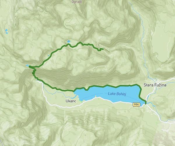
BLATO-PL. JEZERO-ČRNOJEZERO-BOHINJ
16,24
km
•
3
h
14
m
•
+721
m
Hiking
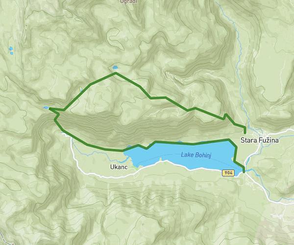
STARA FUŽINA -PLANINA JEZERO-ČRNO JEZERO-BOHINJ
19,9
km
•
3
h
58
m
•
+1299
m
Hiking
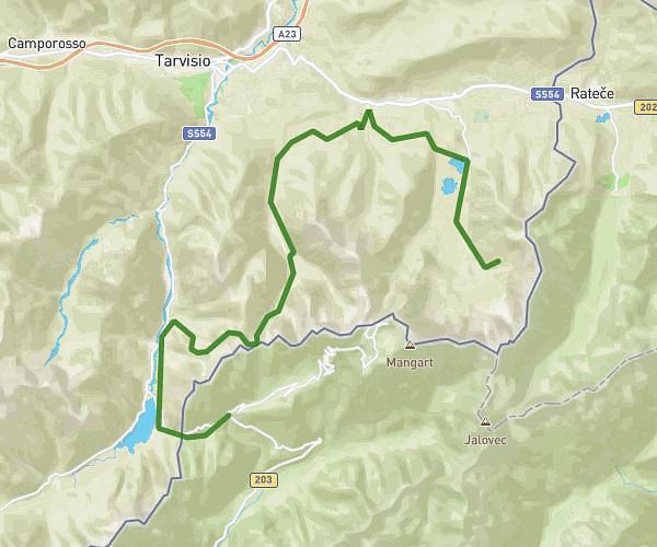
predil-zacchi
27,47
km
•
5
h
29
m
•
+1763
m
Hiking
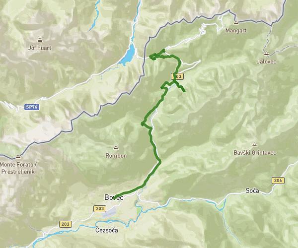
BOVEC-PREDIL
21,31
km
•
4
h
15
m
•
+1271
m
Recommended routes for you
Hiking
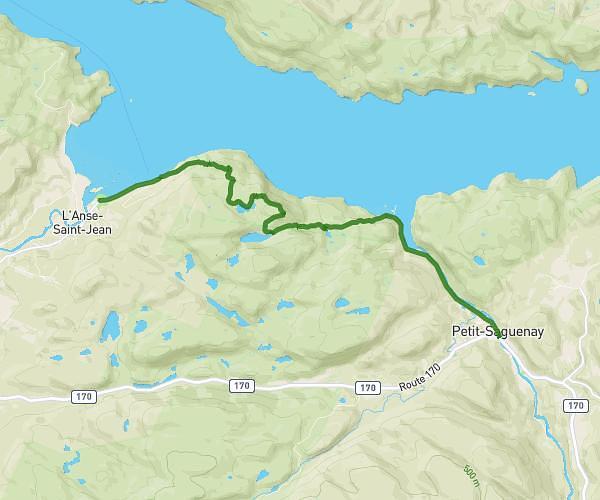
Jour 3 - Anse St-Jean / Petit Saguenay
14,48
km
•
7
m
32
s
•
+516
m
Quebec - L'Anse-Saint-Jean
Hiking
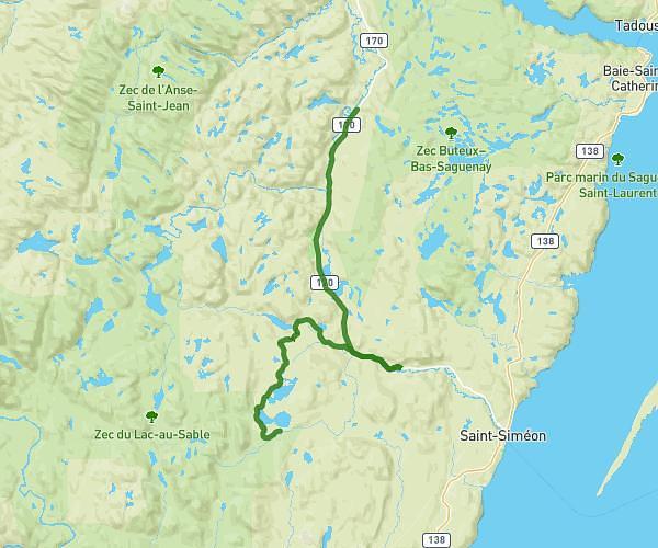
Kapoah Le pelerinage
150,48
km
•
+2038
m
Quebec - Rivière-Éternité
Hiking
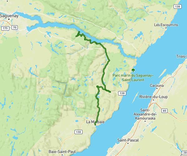
Jour 5 - Sagard / Refuge L’Épervier (option Les Palissades)
51,5
km
•
2
h
17
m
•
+645
m
Quebec - Petit-Saguenay - Saint-Siméon
Hiking
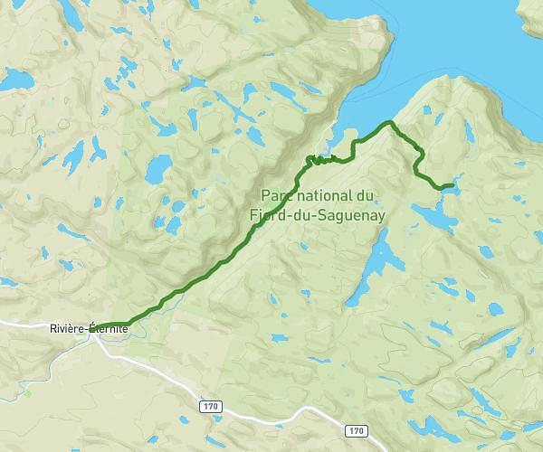
Jour 1 - Rivière-Éternité / Sentier du Fjord (Kapoah)
13,16
km
•
3
m
12
s
•
+486
m
Quebec - Rivière-Éternité
Success
Success
Success
Success
Close