MapPlanner
3.754mi
Distance
2h49s
Duration
+2123ft
Elevation gain
-2123ft
Elevation loss
Strenuous
Level

slap matuljščice

Route details

1.86mph
Speed
997 kcal
Calories burned
21.4%
Avg grade
Loop trail
Route type
2598ft
Min altitude
4088ft
Max altitude
Steep climb

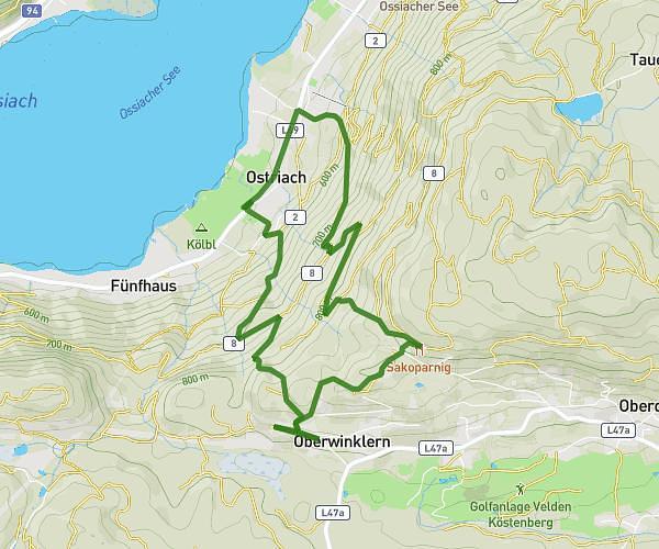
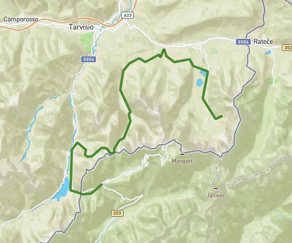
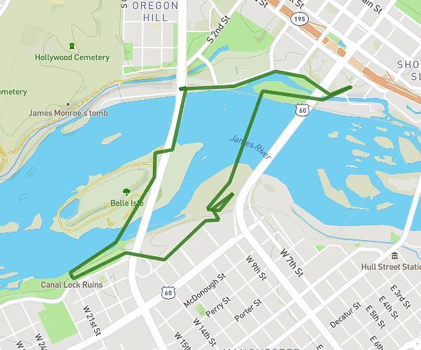
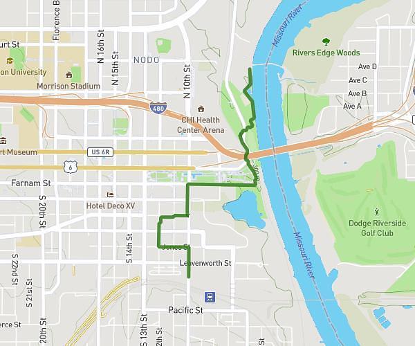
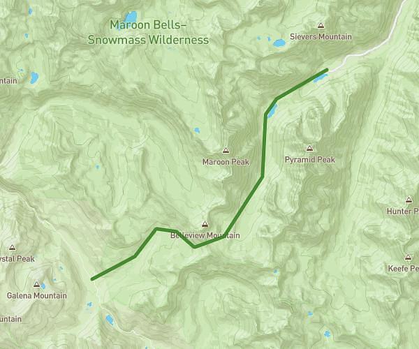
This hiking trail covers 3.754mi starting from . The hike is a loop trail and returns to the trailhead. This hike is rated as strenuous, plan for about 2h49s to complete it. The route has an elevation gain of 2123ft and an elevation loss of 2123ft.

Route profile

2123ft
Elevation gain
2123ft
Elevation loss
2598ft
Min altitude
4088ft
Max altitude

How to get there

Trailhead:

GPS coordinates of the trailhead: 46.4759, 13.83228 / 46°28'33'' N, 13°49'56'' E

Caution: May Cross Private Property

This route may pass through or near private property. Always respect posted signs, obtain permission where required, and follow local trespassing laws. MapPlanner does not guarantee public access along any route.

Safety Notice

Trail and road conditions may change without notice due to weather, construction, or other factors. Always verify current conditions before heading out. You are responsible for your own safety — follow local signage, obey traffic laws, and use your best judgment on the trail.