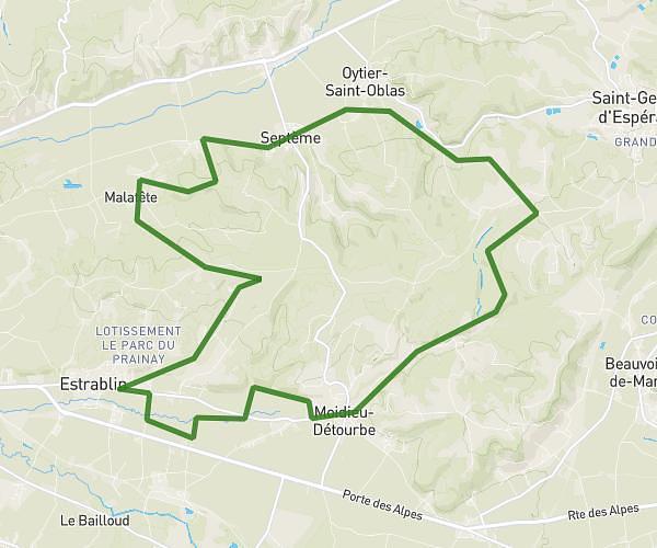
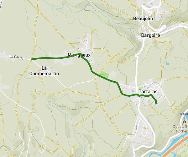
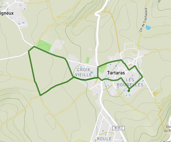
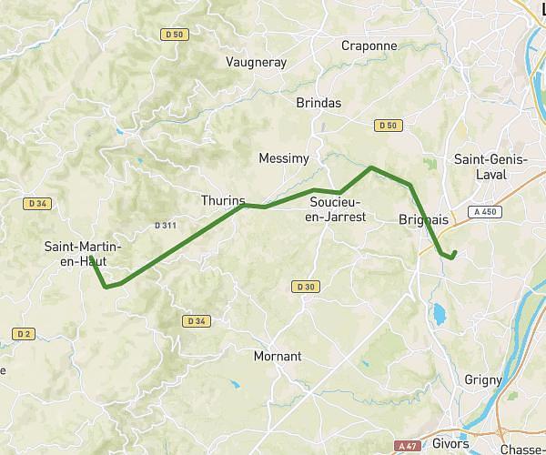
This hiking trail covers 10.891mi starting from La Terrasse-sur-Dorlay, Loire. The hike is a loop trail and returns to the trailhead. This hike is rated as strenuous, plan for about 4h21m to complete it. The route has an elevation gain of 2293ft and an elevation loss of 2300ft.
TEST
Route details
2.5mph
Speed
1948 kcal
Calories burned
8.0%
Avg grade
Loop trail
Route type
1394ft
Min altitude
2890ft
Max altitude
Steep climb
Route profile
2293ft
Elevation gain
2300ft
Elevation loss
1394ft
Min altitude
2890ft
Max altitude
How to get there
Trailhead: 2 Route De La Croix De Montvieux, 42410 Pélussin, France
GPS coordinates of the trailhead: 45.44522, 4.63235 / 45°26'42'' N, 4°37'56'' E