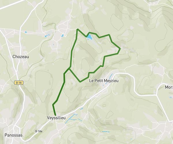
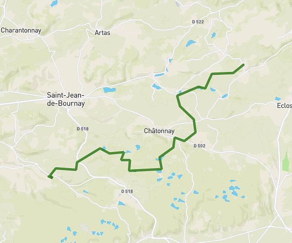
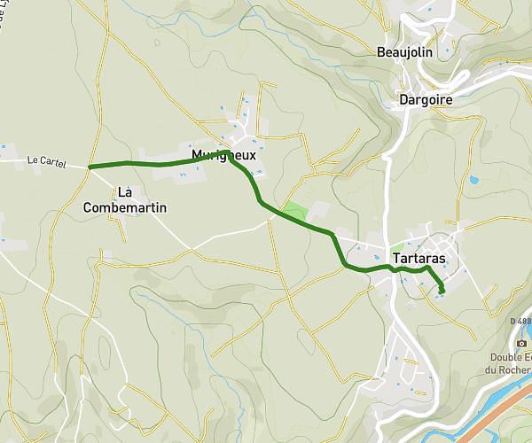
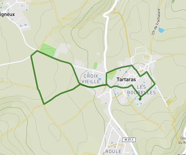
This hiking trail covers 16.825mi starting from Estrablin, Isère. The hike is a loop trail and returns to the trailhead. This hike is rated as hard, plan for about 6h to complete it. The route has an elevation gain of 1335ft and an elevation loss of 1335ft.
Chemin de oytier
Route details
2.8mph
Speed
2583 kcal
Calories burned
3.0%
Avg grade
Loop trail
Route type
738ft
Min altitude
1312ft
Max altitude
Route profile
1335ft
Elevation gain
1335ft
Elevation loss
738ft
Min altitude
1312ft
Max altitude
How to get there
Trailhead: 7 Rue Du Clos Du Marais, 38780 Estrablin, France
GPS coordinates of the trailhead: 45.515641, 4.968435 / 45°30'56'' N, 4°58'6'' E