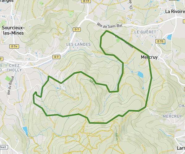
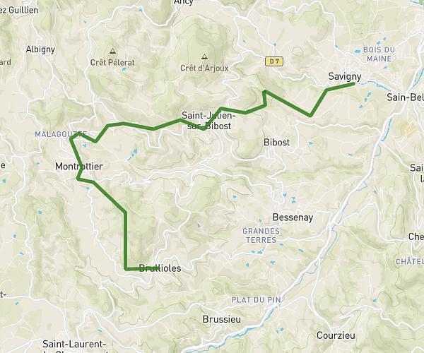
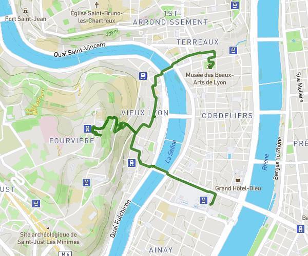
This hiking trail covers 14.164mi starting from Saint-Martin-en-Haut, Rhône. The hike does not return to the trailhead and ends near 7 Rue Jean-Marie Chevalier, 69390 Vourles, France. This hike is rated as hard, plan for about 4h44m to complete it. The route has an elevation gain of 712ft and an elevation loss of 2251ft.
St Martin en Haut à Vourles
Route details
3.0mph
Speed
2020 kcal
Calories burned
4.0%
Avg grade
Point to point
Route type
656ft
Min altitude
2661ft
Max altitude
Route profile
712ft
Elevation gain
2251ft
Elevation loss
656ft
Min altitude
2661ft
Max altitude
How to get there
Trailhead: 16 Avenue Des Hauts Du Lyonnais, 69850 Saint-Martin-en-Haut, France
GPS coordinates of the trailhead: 45.65885, 4.564009 / 45°39'31'' N, 4°33'50'' E