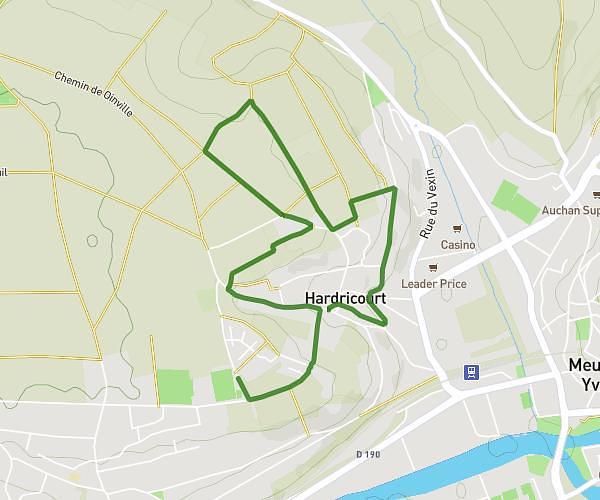
Explore this hiking route of 3.675mi starting from Montreuil-sur-Epte, Val-d'Oise. The hike is a loop and returns to the starting point. This hike has no defined difficulty level, plan for about 1h16m to complete it. The route has a positive elevation gain of 308ft and a negative elevation loss of 308ft.
balade co
Route details
Route profile
308ft
Elevation +
308ft
Elevation -
256ft
Min altitude
440ft
Max altitude
How to get there
Route starting point: Rue Des Fontaines, 95770 Montreuil-sur-Epte
GPS coordinates of the starting point: 49.16701, 1.68909 / 49°10'1'' N, 1°41'20'' E
Calculate the time to reach the starting point from your location or an address