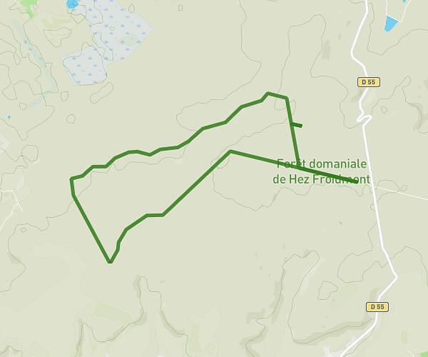
This hiking trail covers 14.644mi starting from Montchevreuil, Oise. The hike is a loop trail and returns to the trailhead. This hike is rated as moderate, plan for about 4h46m to complete it. The route has an elevation gain of 781ft and an elevation loss of 781ft.
boucle corbeil cerf
Route details
3.07mph
Speed
2036 kcal
Calories burned
2.0%
Avg grade
Loop trail
Route type
344ft
Min altitude
696ft
Max altitude
Route profile
781ft
Elevation gain
781ft
Elevation loss
344ft
Min altitude
696ft
Max altitude
How to get there
Trailhead: Rue Du Montcel, 60240 Montchevreuil
GPS coordinates of the trailhead: 49.28826, 1.99925 / 49°17'17'' N, 1°59'57'' E