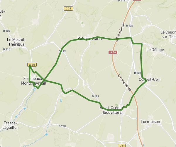
This hiking trail covers 6.058mi starting from La Neuville-en-Hez, Oise. The hike is a loop trail and returns to the trailhead. This hike is rated as moderate, plan for about 2h10m to complete it. The route has an elevation gain of 459ft and an elevation loss of 459ft.
froidmont
Route details
2.8mph
Speed
932 kcal
Calories burned
2.9%
Avg grade
Loop trail
Route type
279ft
Min altitude
551ft
Max altitude
Route profile
459ft
Elevation gain
459ft
Elevation loss
279ft
Min altitude
551ft
Max altitude
How to get there
Trailhead: Route Forestière De Condé, 60510 La Neuville-en-Hez, France
GPS coordinates of the trailhead: 49.37983, 2.32009 / 49°22'47'' N, 2°19'12'' E