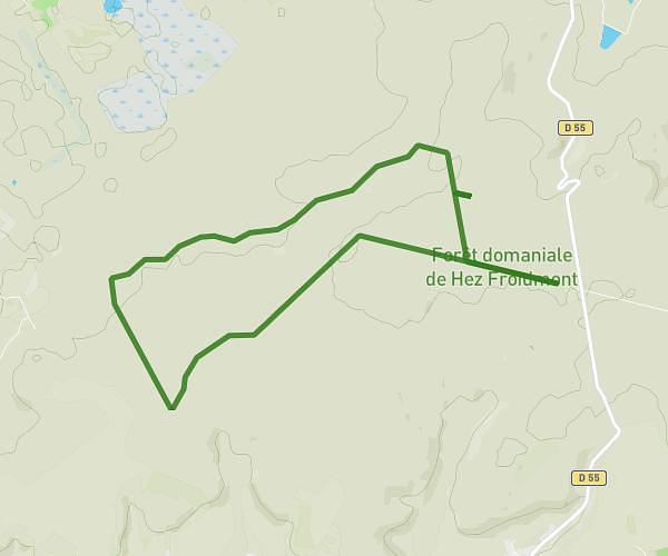
This hiking trail covers 5.835mi starting from Liancourt, Oise. The hike is a loop trail and returns to the trailhead. This hike is rated as moderate, plan for about 1h33m to complete it. The route has an elevation gain of 719ft and an elevation loss of 719ft.
avec marius après noel
Route details
3.73mph
Speed
683 kcal
Calories burned
4.7%
Avg grade
Loop trail
Route type
167ft
Min altitude
459ft
Max altitude
Route profile
719ft
Elevation gain
719ft
Elevation loss
167ft
Min altitude
459ft
Max altitude
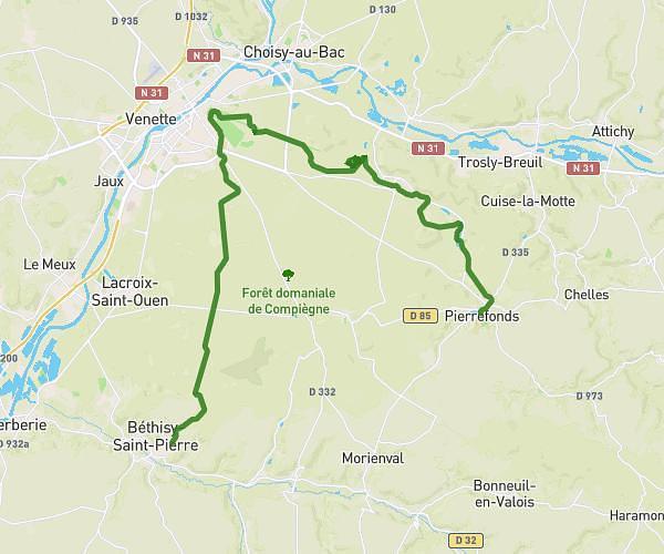
How to get there
Trailhead: Rue Latour Prolongée, 60140 Liancourt
GPS coordinates of the trailhead: 49.33202, 2.46069 / 49°19'55'' N, 2°27'38'' E