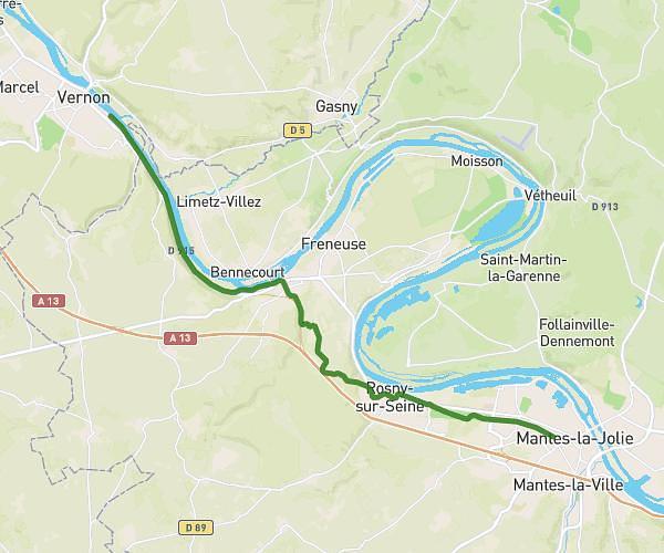
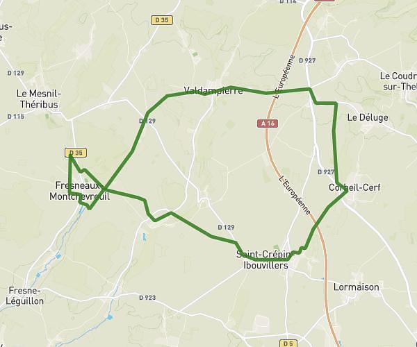
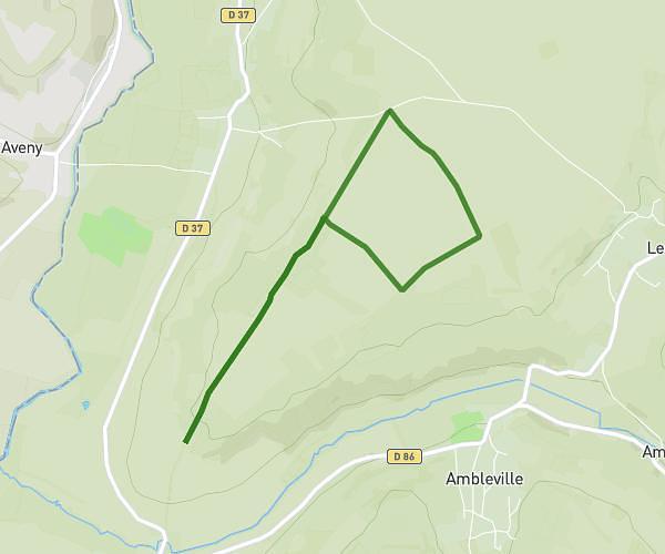
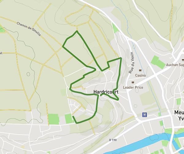
This hiking trail covers 15.744mi starting from Serans, Oise. The hike does not return to the trailhead and ends near Rue Du Bois Guillaume, 60240 Lierville. This hike is rated as moderate, plan for about 5h to complete it. The route has an elevation gain of 696ft and an elevation loss of 778ft.
Raid 1ere classe Cyran
Route details
3.15mph
Speed
2129 kcal
Calories burned
1.8%
Avg grade
Point to point
Route type
167ft
Min altitude
518ft
Max altitude
Route profile
696ft
Elevation gain
778ft
Elevation loss
167ft
Min altitude
518ft
Max altitude
How to get there
Trailhead: Grande Rue, 60240 Serans
GPS coordinates of the trailhead: 49.18643, 1.83604 / 49°11'11'' N, 1°50'9'' E