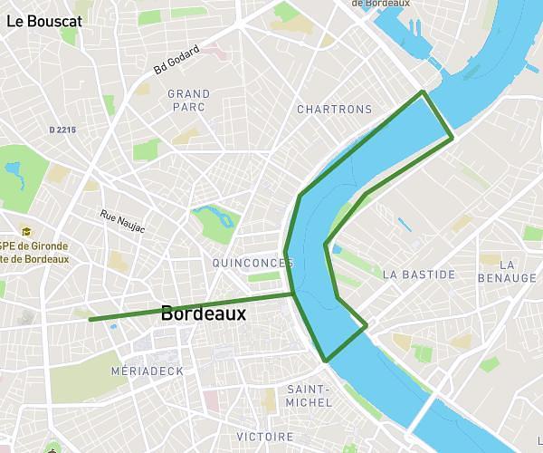
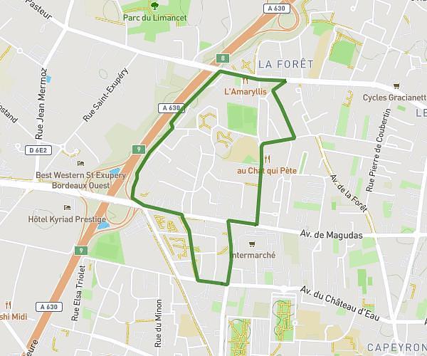
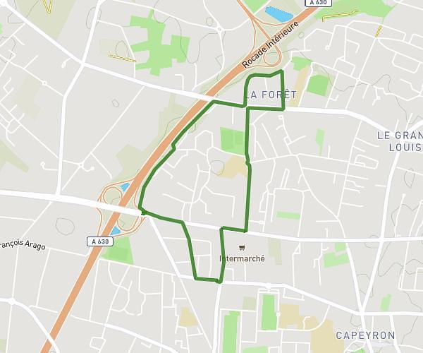
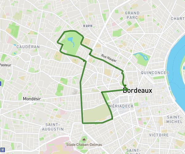
This running route covers 10.077mi starting from Castelnau-de-Médoc, Gironde. The run is a loop trail and returns to the trailhead. This run is rated as hard, expect about 1h48m to complete it. The route has an elevation gain of 16ft and an elevation loss of 7ft.
Castelnau
Route details
5.6mph
Speed
1235 kcal
Calories burned
Loop trail
Route type
59ft
Min altitude
75ft
Max altitude
Route profile
16ft
Elevation gain
7ft
Elevation loss
59ft
Min altitude
75ft
Max altitude
How to get there
Trailhead: 14 Rue Du Château, 33480 Castelnau-de-Médoc, France
GPS coordinates of the trailhead: 45.026304, -0.798132 / 45°1'34'' N, 0°47'53'' W