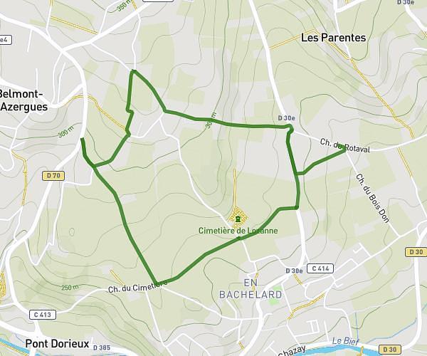
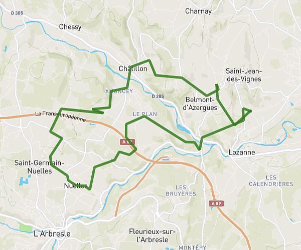
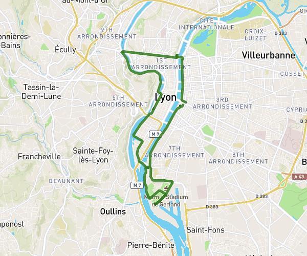
This cycling route covers 14.402mi starting from Brullioles, Rhône. The ride is a loop trail and returns to the trailhead. This route is rated as hard, plan for about 1h27m to complete it. The route has an elevation gain of 833ft and an elevation loss of 863ft.
FAYARD ST JULIEN RTE ANCY MONTROTTIER
Route details
772 kcal
Calories burned
2.2%
Avg grade
Loop trail
Route type
1473ft
Min altitude
2277ft
Max altitude
Route profile
833ft
Elevation gain
863ft
Elevation loss
1473ft
Min altitude
2277ft
Max altitude
How to get there
Trailhead: 85 Chemin De La Grand Croix, 69690 Brullioles, France
GPS coordinates of the trailhead: 45.761411, 4.493034 / 45°45'41'' N, 4°29'34'' E