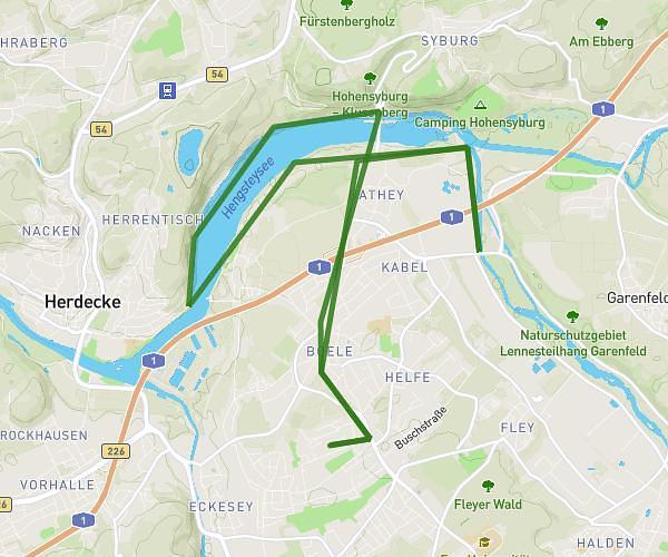
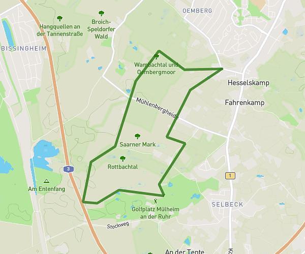
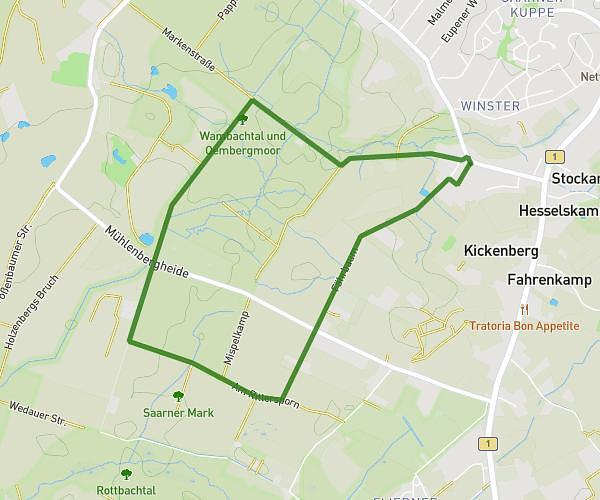
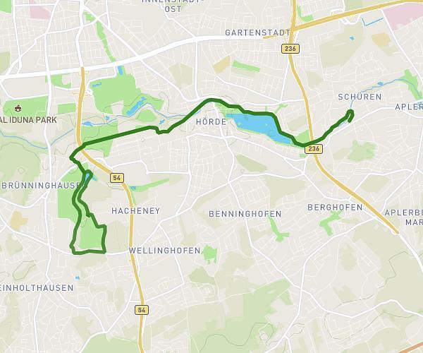
This running route covers 17.658mi starting from Bochum, North Rhine-Westphalia. The run does not return to the trailhead and ends near Königsallee 169, 44799 Bochum, Germany. This run is rated as strenuous, expect about 3h9m to complete it. The route has an elevation gain of 1598ft and an elevation loss of 1588ft.
Wagner
Route details
5.59mph
Speed
2166 kcal
Calories burned
Point to point
Route type
194ft
Min altitude
512ft
Max altitude
Route profile
1598ft
Elevation gain
1588ft
Elevation loss
194ft
Min altitude
512ft
Max altitude
How to get there
Trailhead: Waldring 83, 44789 Bochum, Germany
GPS coordinates of the trailhead: 51.46387, 7.220205 / 51°27'49'' N, 7°13'12'' E