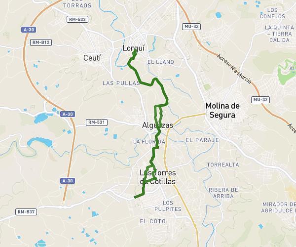
This running route covers 7.756mi starting from Molina de Segura, Murcia. The run does not return to the trailhead and ends near Camino Del Cerriche 4, 30500 Molina de Segura, Murcia, Spain. This run is rated as hard, expect about 1h14m to complete it. The route has an elevation gain of 23ft and an elevation loss of 33ft.
RIO SEGURA
Route details
6.21mph
Speed
856 kcal
Calories burned
Point to point
Route type
223ft
Min altitude
249ft
Max altitude
Route profile
23ft
Elevation gain
33ft
Elevation loss
223ft
Min altitude
249ft
Max altitude
How to get there
Trailhead: Vía Verde Del Noroeste, 30500 Molina de Segura, Murcia, Spain
GPS coordinates of the trailhead: 38.04655, -1.21128 / 38°2'47'' N, 1°12'40'' W