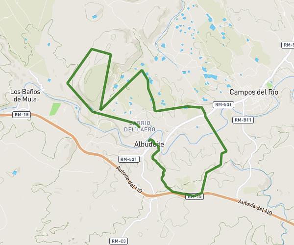
This running route covers 10.462mi starting from Mula, Murcia. The run is a loop trail and returns to the trailhead. This run is rated as hard, expect about 1h52m to complete it. The route has an elevation gain of 830ft and an elevation loss of 833ft.
Catedral Yechar
Route details
5.6mph
Speed
1281 kcal
Calories burned
Loop trail
Route type
922ft
Min altitude
1503ft
Max altitude
Route profile
830ft
Elevation gain
833ft
Elevation loss
922ft
Min altitude
1503ft
Max altitude
How to get there
Trailhead: Calle Juan Fernández Castillo, 30193 Mula, Murcia, Spain
GPS coordinates of the trailhead: 38.070749, -1.442964 / 38°4'14'' N, 1°26'34'' W