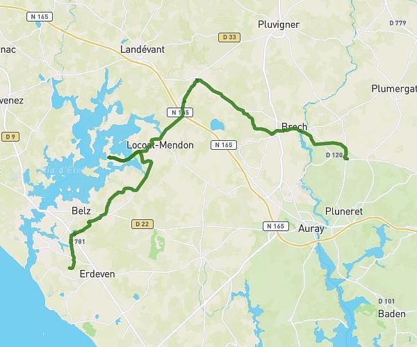
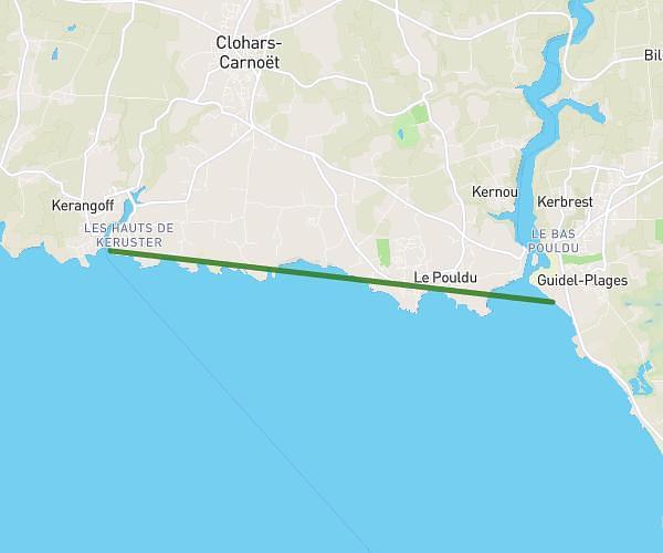
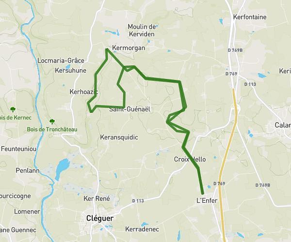
This hiking trail covers 16.165mi starting from Plouhinec, Morbihan. The hike is a loop trail and returns to the trailhead. This hike is rated as moderate, plan for about 5h12m to complete it. The route has an elevation gain of 492ft and an elevation loss of 489ft.
Tour de Plouhinec
Route details
3.11mph
Speed
2206 kcal
Calories burned
1.1%
Avg grade
Loop trail
Route type
0ft
Min altitude
75ft
Max altitude
Route profile
492ft
Elevation gain
489ft
Elevation loss
0ft
Min altitude
75ft
Max altitude
How to get there
Trailhead: Chemin Rural De Moteno, 56680 Plouhinec
GPS coordinates of the trailhead: 47.65877, -3.22678 / 47°39'31'' N, 3°13'36'' W