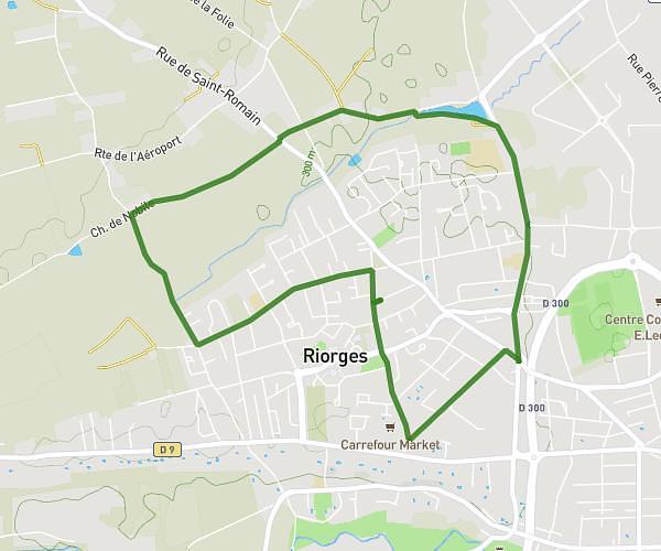
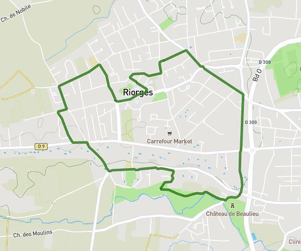
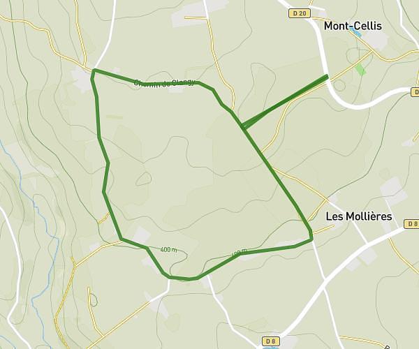
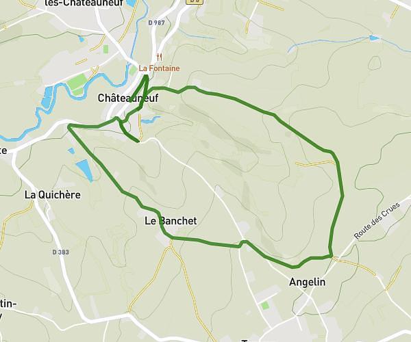
This running route covers 7.91mi starting from Saint-Romain-la-Motte, Loire. The run is a loop trail and returns to the trailhead. This run is rated as hard, expect about 50m55s to complete it. The route has an elevation gain of 489ft and an elevation loss of 489ft.
Saint romain
Route details
9.32mph
Speed
582 kcal
Calories burned
Loop trail
Route type
991ft
Min altitude
1109ft
Max altitude
Route profile
489ft
Elevation gain
489ft
Elevation loss
991ft
Min altitude
1109ft
Max altitude
How to get there
Trailhead: 104 Impasse Des Acacias, 42640 Saint-Romain-la-Motte, France
GPS coordinates of the trailhead: 46.082913, 3.980885 / 46°4'58'' N, 3°58'51'' E